What is recorded here
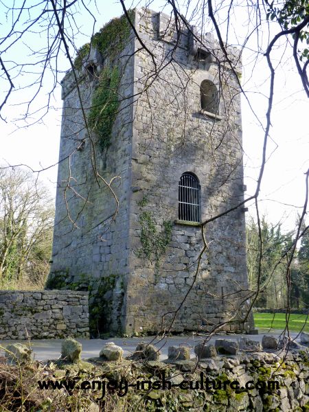
Indicated as a rectangular structure (map dims. 13m NE-SW; 7m NW-SE) on the 1908 OS '6-inch map'. This is a folly of 19th century construction.
Compiled by: Claire Breen
Date of upload: 19 August 2011
The monument record does not grant public access. Check the route and ask the landowner before entering private land.
- What survives
- Recorded monument
Places near here
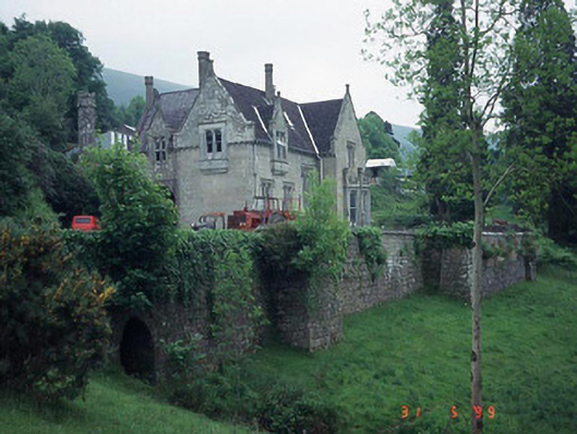 Mount Leinster Lodgecountry house · 408 yd
 Enclosure in RaheendarraghEnclosure · 1519 yd
 Enclosure in CrannaghEnclosure · 1630 yd
 SlievebawnMountain / peak · 1.2 mi
 Saint Peter's Church (Kiltennell)church/chapel · 1.3 mi
 Irish Hangliding and Paragliding AssociationMemorial · 1.9 mi
 Mount LeinsterMountain · 2.0 mi
 Rathnageeragh Castle (in ruins)Castle, unclassified · 2.1 mi
 KnockroeMountain / peak · 2.6 mi
 Coonogue WoodForest · 3.0 mi
 Sessile OakSessile Oak · 3.7 mi
 CastleCastle, unclassified · 3.8 mi