What is recorded here
Large oval shaped enclosure (c. 160m E-W, c. 60m N-S) defined by a very narrow fosse visible on aerial photographs (ASIAP (51) 10-14). Appears to post date the field boundary marked on both the 1839 and the 1908 'OS 6-inch' maps.
Compiled by: Claire Breen
Date of upload: 22 March 2012
The monument record does not grant public access. Check the route and ask the landowner before entering private land.
- What survives
- Recorded monument
Places near here
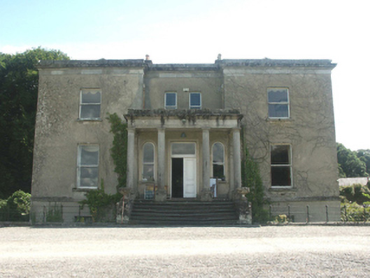 Fortgranite Housecountry house · 901 yd
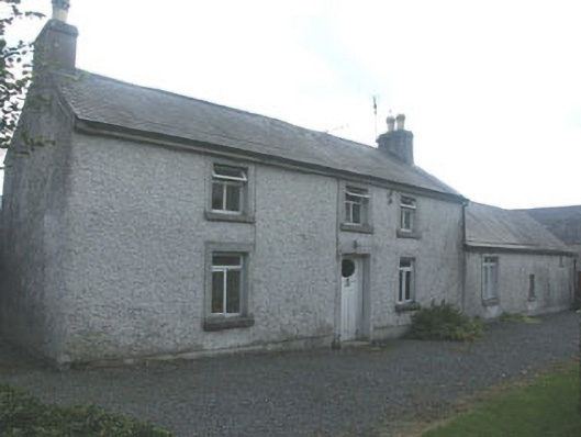 Holdenstown Lodgefarm house · 1.0 mi
 Enclosure in Holdenstown UpperEnclosure · 1.1 mi
 Cross in LadystownCross · 1.2 mi
 European BeechEuropean Beech · 1.4 mi
 Site of CastleCastle, unclassified · 2.2 mi
 Chapel (in ruins), GraveyardChurch · 2.2 mi
 Rahill Church (in ruins), GraveyardChurch · 2.2 mi
 MoatamoyCastle, motte · 2.3 mi
 Saint Brigit's Mass StoneNamed rock · 3.4 mi
 Saint Brigit's ChairNamed rock · 3.5 mi
 Sessile OakSessile Oak · 4.0 mi