What is recorded here
In level grassland just N of Bunowen Bridge. Aerial reconnaissance in August 1984 (ASGAP 171:17) revealed a cropmark comprising a narrow vegetation band curving through c. 110 degrees in the angle formed by a road T-junction. Though this is marked on 3rd ed. of OS 6-inch map (1946) as a curving field boundary, the photograph also shows a small circular enclosure centrally placed within it. No visible surface trace of either feature survives. Possibly a landscape feature. Mistakenly positioned on SMR (GA087-161----) just S of the bridge.
The above description is derived from the published 'Archaeological Inventory of County Galway Vol. II - North Galway'. Compiled by Olive Alcock, Kathy de hÓra and Paul Gosling (Dublin: Stationery Office, 1999).
Date of upload: 05 August 2010
The monument record does not grant public access. Check the route and ask the landowner before entering private land.
- What survives
- Recorded monument
Places near here
 Field system in ArdrosField system · 568 yd
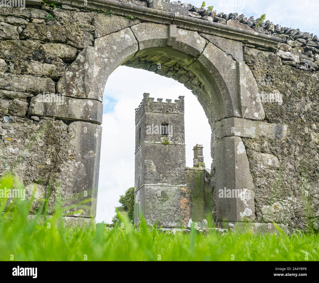 St. Patricks Stone (Site of)Ritual site, holy/saint's stone · 1296 yd
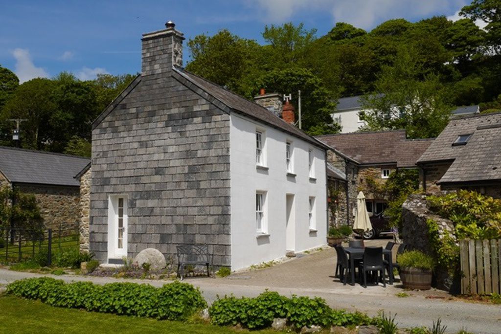 Corn MillMill, corn · 1512 yd
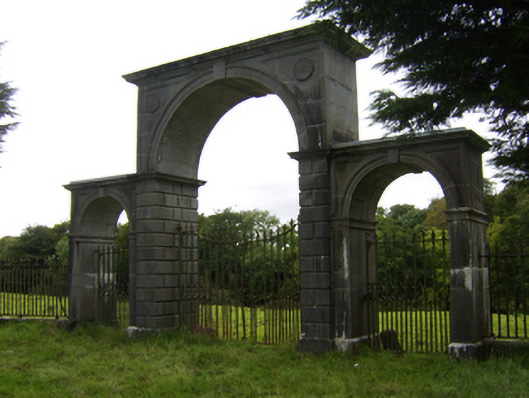 Northbrook Housegates/railings/walls · 1.0 mi
 Kilconnell AbbeyHeritage attraction · 1.6 mi
 Oak WoodWood · 1.6 mi
 Battle of Aughrim Interpretative CentreMuseum · 2.4 mi
 Castle (Site of)Castle, Anglo-Norman masonry castle · 2.4 mi
 Site of Cloonigny CastleCastle, unclassified · 2.7 mi
 Battle of AughrimMajor battlefield · 2.9 mi
 The bloody HollowHeritage attraction · 3.2 mi
 Urraghry HillMountain / peak · 3.9 mi