What is recorded here
Killagh Beg holds a well-preserved subcircular rath at the northwest end of a low hill, its double banks and central ditch still clear after centuries. The eastern entrance faces the rising sun, while a strange oval depression in the southwest quadrant hints at a hidden underground passage. People may have built the visible fort for defense or lived inside it, but the dark hole below suggests the site also served imagination, fear, or ceremony.
At NW end of a low hill, 150m SEof a ringfort (Mo. 1803). Well-preserved subcircularrath (E-W 32.6m, N-S 31.6m) defined by two banksand an intervening fosse. There is an entrance at ESE. In SW quadrant there is an oval depression (L 8.8m, Wth 3.9m max.) averaging 0.9m in depth, its long axisrunning E-W; a possible Man-made underground passage.
The above description is derived from the published 'Archaeological Inventory of County Galway Vol. II - North Galway'. Compiled by Olive Alcock, Kathy de hÓra and Paul Gosling (Dublin: Stationery Office, 1999).
Date of upload: 05 August 2010
The monument record does not grant public access. Check the route and ask the landowner before entering private land.
- What survives
- Recorded monument
Places near here
 IndicatedKiln, lime · 431 yd
 Enclosure in CorraneenaEnclosure · 478 yd
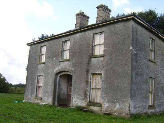 Killaghbeg Househouse · 765 yd
 Enclosure in Killagh MoreEnclosure · 1581 yd
 Kilconnell AbbeyHeritage attraction · 1.4 mi
 CastleCastle, unclassified · 1.4 mi
 Site of Lisnamoltaun CastleCastle, unclassified · 1.7 mi
 Large-leaved LimeLarge-leaved Lime · 2.5 mi
 Western RedcedarWestern Redcedar · 3.1 mi
 Battle of Aughrim Interpretative CentreMuseum · 4.0 mi
 Battle of AughrimMajor battlefield · 4.4 mi
 The bloody HollowHeritage attraction · 4.7 mi