What is recorded here
Listed in the SMR (1989) and classified as 'Earthwork, possible site' in the RMP (1995). This refers to a right angled garden landscape feature indicated by hachures on the 1913 edition of the OS 6 inch map immediately to the east of the the 19th century house. It clearly formed part of the landscaping works associated with the house (SL026-102----) which dates from 1856 onwards (Bence-Jones 1978, 88). Not visible at ground level.
Compiled by: Paul Walsh
Date of upload: 14 December 2011
The monument record does not grant public access. Check the route and ask the landowner before entering private land.
- What survives
- Recorded monument
Places near here
 Indicated (1838).Fairy fort / earthen ringfort · 421 yd
 LisruntaghFairy fort / earthen ringfort · 818 yd
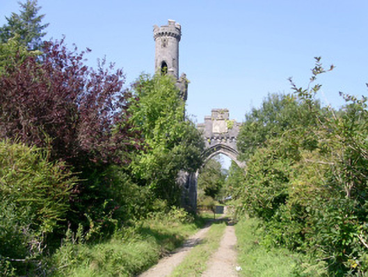 Markree Castlegate lodge · 1047 yd
 Lisconny Bridgebridge · 1429 yd
 Castle (Site of)Castle, unclassified · 1.1 mi
 Field MapleField Maple · 1.8 mi
 James MorrisonMemorial · 1.9 mi
 European ashEuropean ash · 1.9 mi
 Behy Castle (in Ruins)Castle, tower house · 3.0 mi
 Riverstown Folk ParkHeritage attraction · 3.8 mi
 Giants GraveArchaeological place · 3.9 mi
 CroaghaunMountain / peak · 4.2 mi