What is recorded here
On an E-facing slope. There are no visible remains of the church called 'Kil-na-Mochain', which O'Rorke (1878, 196) placed in the demesne of Cloonamahan House. An undecorated cylindrical stoup (SL026-175----) (diam. c. 0.42m; H c. 0.26m), possibly associated with the church, was in the possession of the Passionist community at Cloonamahan and is now in the Parochial House at Collooney (pers. comm. M. A. Timoney). (M. B. Timoney 2002, 157)
The above description is derived from the published 'Archaeological Inventory of County Sligo' compiled by Ursula Egan, Elizabeth Byrne, Mary Sleeman with Sheila Ronan and Connie Murphy (Dublin Stationery Office, 2005).
Date of upload: 18 January 2008
This remains an important historical record, but the official description says the monument is no longer visible or has been destroyed. The monument record does not grant public access. Check the route and ask the landowner before entering private land.
- What survives
- No visible remains or recorded as destroyed
Places near here
 Indicated (1838).Fairy fort / earthen ringfort · 603 yd
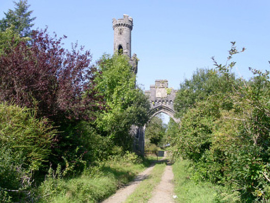 Markree Castlegate lodge · 888 yd
 IndicatedFairy fort / earthen ringfort · 953 yd
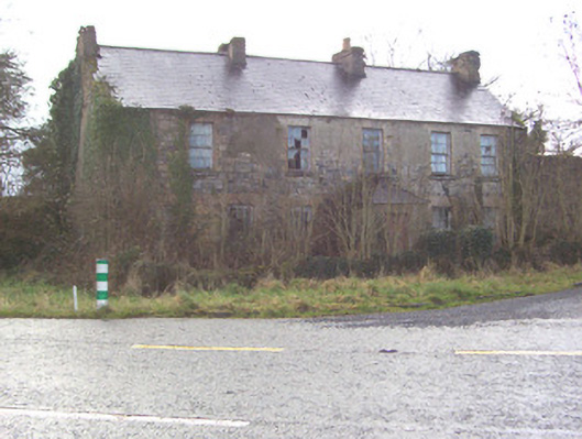 Toberscanavan Househouse · 1352 yd
 Castle (Site of)Castle, unclassified · 1.0 mi
 Field MapleField Maple · 1.7 mi
 European ashEuropean ash · 1.8 mi
 James MorrisonMemorial · 2.0 mi
 CastleCastle, motte and bailey · 2.1 mi
 Giants GraveArchaeological place · 3.8 mi
 Riverstown Folk ParkHeritage attraction · 3.9 mi
 CroaghaunMountain / peak · 4.1 mi