What is recorded here
There was no evidence of any archaeological site in the area marked on the aerial photograph (GSI N 534/5). There was a low natural hill and the site of a stand which belonged to a racecourse which was located in this field. The racecourse was closed in 1906 and the remains of which probably showed up on aerial photographs.
The above description is derived from the published 'Archaeological Inventory of County Offaly' (Dublin: Stationery Office, 1997). In certain instances the entries have been revised and updated in the light of recent research.
Date of upload: 23 May 2011
The monument record does not grant public access. Check the route and ask the landowner before entering private land.
- What survives
- Recorded monument
Places near here
 Partially hachuredBawn · 1148 yd
 Ballykilmurry Castle (in ruins)Castle, tower house · 1159 yd
 Enclosure in Kilbride (ballycowan By.)Enclosure · 1219 yd
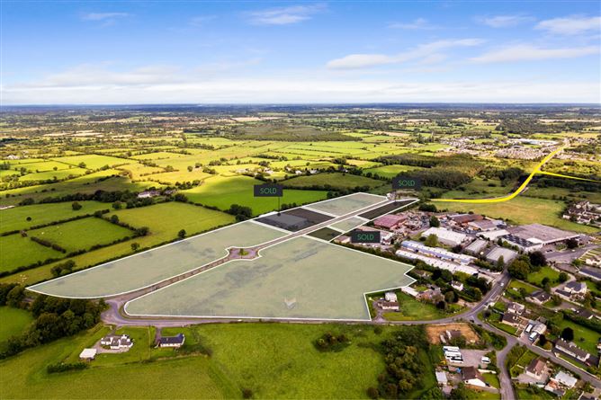 Enclosure in BallykilmurryEnclosure · 1372 yd
 Ballyduff WoodForest · 1661 yd
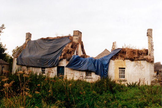 farm housefarm house · 1.0 mi
 IndicatedQuarry · 1.0 mi
 European ashEuropean ash · 1.5 mi
 Christ's WellSpring · 1.5 mi
 Trumpet HillMountain / peak · 1.9 mi
 Grand Canal WayWalking route · 2.6 mi
 Ardnagross WellSpring · 2.7 mi