
What is recorded here
Earthworks of a quarry that are indicated on the OS 6-inch map c. 200m W of Ballyduff House. These earthworks were identified as a 'moat' and described by Offaly Historical and Archaeological Society in 1974 as located 200m to the W of Ballyduff House there is, ' a moat and remains of a ditch and bailey no mound ditch filled in on all sides except N.W.. On N.W. side is the 'bailey' circular moat (known as such locally) sited on a natural hill. These earthworks are the remains of a post-1700 quarry indicated on all editions of the OS 6-inch maps.
The above description is derived from the published 'Archaeological Inventory of County Offaly' (Dublin: Stationery Office, 1997). In certain instances the entries have been revised and updated in the light of recent research.
Date of upload/revision: 29 December 2011
The monument record does not grant public access. Check the route and ask the landowner before entering private land.
- What survives
- Recorded monument
Places near here
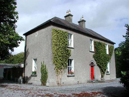 Moor Hillhouse · 817 yd
 Ballyduff WoodForest · 1189 yd
 Enclosure in Ballydrohid,ballynagh,srah (ballycowan By.)Enclosure · 1376 yd
 Srah CastleRuins · 1418 yd
 Bawn in BallydrohidBawn · 1420 yd
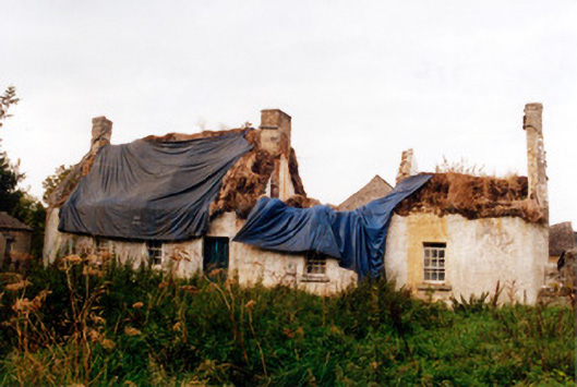 farm housefarm house · 1473 yd
 SkeaghacrogheryRitual site, holy tree/bush · 1707 yd
 Christ's WellSpring · 1.5 mi
 Pedunculate OakPedunculate Oak · 1.6 mi
 Grand Canal WayWalking route · 1.6 mi
 St. Columba's WellSpring · 2.8 mi
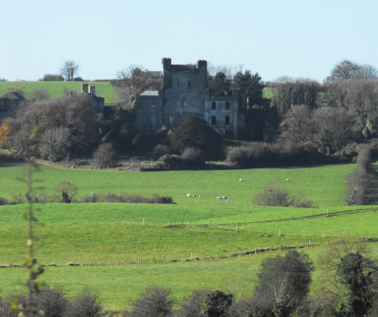 St O'Hara's HillMountain / peak · 2.9 mi
Other information
Photo: Credit not shown in the picture search · Rights wording not checked; contact us if this picture should be removed