What is recorded here
In slightly undulating pasture. Depicted on current edition OS 6-inch map as L-shaped earthwork (L c. 70m N-S) with a return (long-axis WNW-ESE) to W (L c. 60m) at N-end. Remains consist of levelled earthwork defined by slight scarped edge (L c. 75m; Wth 3.5m; H 0.3m) (long-axis E-W) which formed N arm of earthwork. This feature would seem to be the remains of a raised avenue shown on the 1840 OS map leading to the country house Castle Lloyd; this house does not survive.
Compiled by: Denis Power
Date of upload: 5 September 2013
The monument record does not grant public access. Check the route and ask the landowner before entering private land.
- What survives
- Recorded monument
Places near here
 CloghadaltonCastle, unclassified · 124 yd
 Castle Lloydfolly · 257 yd
 Oola National Schoolschool · 400 yd
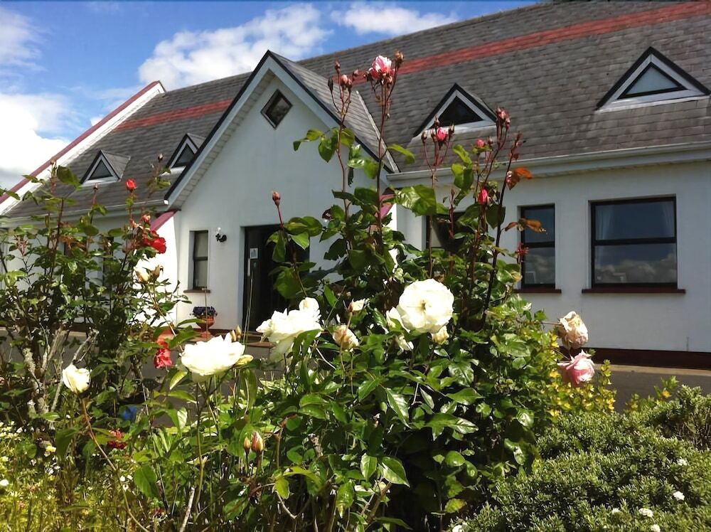 Grave YardGraveyard · 474 yd
 Enclosure in Garryduff (coonagh By.)Enclosure · 637 yd
 Oola HillMountain / peak · 1185 yd
 Oola Castle (in ruins)Castle, tower house · 1.1 mi
 ToberagaddySpring · 3.4 mi
 KnockseefinMountain / peak · 4.5 mi
 St. Patrick's WellSpring · 5.6 mi
 Flat cemetery in Knockainy WestFlat cemetery · 8.9 mi
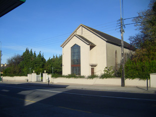 Catholic Church of the Sacred Heartchurch/chapel · 429 yd