
What is recorded here
Derreen Castle stood as a rectangular tower house fifty feet long and twenty feet broad, its ivy-covered gables rising above fallen side walls in County Limerick pasture. The structure earned the name Caisleán a’ Doirín, castle of the little oak wood, before local tradition holds that demolition around 1960 cleared the site for a modern dwelling. Today that house occupies the exact castle footprint, hiding the medieval bones beneath ordinary roofs while forestry marks the northern boundary.
Site of Derreen Castle now occupied by a modern house, in gently undulating pasture, with a tract of forestry to N and a modern dwelling c. 40m to W. Described by Westropp as a rectangular-shaped tower (L 50ft [15.25m] x Wth 20ft [6m]) with gables upstanding and the sides fallen (1906-07, 158). Caisleán a’ Doirín or castle of the little oak wood was described in 1840 as following; 'The ruins are 50 ft. [15.25m] long from E. to W., and 20 ft [6m] broad. The side walls are nearly mouldered away, but the gables, which are covered with ivy, remains perfect' (OSNB Kilcornan Parish Book 2).
Depicted on the OS 25-inch map as a long rectangular-shaped structure (approx. dims. 20m NE-SW x 9m NW-SE) annotated ‘Derreen Castle (in ruins)’. According to local information, the remains were demolished c. 1960 and a dwelling house built on the site (SMR file). A long building (23m NE-SW; 9m NW-SE) is visible on the castle footprint, as seen on Digital Globe aerial photographs taken 2011-2013 and Google Earth orthoimage taken 28/06/2018.
See attached Google Earth orthoimage.
Compiled by: Alison McQueen, Vera Rahilly and Caimin O’Brien
Date of upload: 8 July 2020
Derreen Castle was built in the 17th century by the Byrnes, a prominent Gaelic-Irish family in the region. It is remembered as an example of early Irish tower house architecture and as a symbol of local clan heritage.
The monument record does not grant public access. Check the route and ask the landowner before entering private land.
- What survives
- Recorded monument
Places near here
 Castle GreyHouse, 18th/19th century · 432 yd
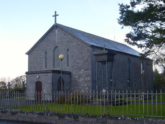 Catholic Church of Saint John the Baptistchurch/chapel · 787 yd
 Indicated (1923).Enclosure · 1014 yd
 TobermurryHoly well · 1409 yd
 Celtic Park and GardensHeritage attraction · 1722 yd
 Stonehall Visitor FarmHeritage attraction · 1.0 mi
 CastleCastle, tower house · 1.1 mi
 Carriganea CastleCastle · 1.2 mi
 European YewEuropean Yew · 1.3 mi
 Sweet ChestnutSweet Chestnut · 2.7 mi
 Ringmoylan PierVisitor information · 3.5 mi
 Mellon PointHeadland · 3.7 mi
Other information
Photo: Credit not shown in the picture search · Rights wording not checked; contact us if this picture should be removed