
What is recorded here
In pasture, at upper W edge of dry valley. D-shaped area (18m NNW-SSE; 11m WSW-ENE) defined on W side by steep edge of dry valley, and defined SSE-ENE by wide shallow fosse (Wth 8.25m; D 0.5m).
Compiled by: Denis Power
Date of upload: 26 August 2011
The monument record does not grant public access. Check the route and ask the landowner before entering private land.
- What survives
- Recorded monument
Places near here
 Castle GreyHouse, 18th/19th century · 641 yd
 Celtic Park and GardensHeritage attraction · 710 yd
 Derreen Castle (in ruins)Castle, tower house · 1015 yd
 Hut site in GlennameadeHut site · 1296 yd
 St. Bridgets WellHoly well · 1469 yd
 Stonehall Visitor FarmHeritage attraction · 1506 yd
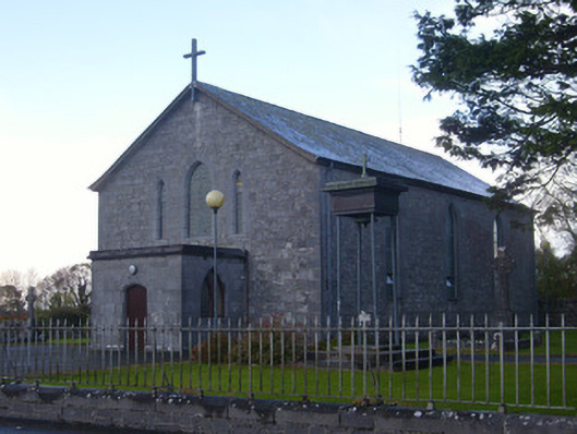 Catholic Church of Saint John the Baptistchurch/chapel · 1526 yd
 European YewEuropean Yew · 1.1 mi
 CastleCastle, tower house · 1.2 mi
 Sweet ChestnutSweet Chestnut · 3.3 mi
 Ringmoylan PierVisitor information · 4.1 mi
 Mellon PointHeadland · 4.1 mi
Other information
Photo: Credit not shown in the picture search · Rights wording not checked; contact us if this picture should be removed