What is recorded here
Dermot and Granias Bed is a court tomb in Castlerock OR Castlecarragh, County Sligo, Ireland. The site occupies rocky pasture below the Ox Mountains and faces south. A four-metre gallery holds five upright stones on each side and divides into two chambers. Two loose stones mark the south arm of the court, while three flat stones lie beside them.
On rocky pasture at the edge of a plateau below the slopes of the Ox Mountains and commanding an extensive outlook to the S. A gallery (L 4.8m; Wth 1.6-2.6m) is preceded at the E by two stones representing the S arm of a court. There are three prostrate stones immediately N of the outer of the two courtstones. Just E of these there is a small limekiln (SL031-040001-) in a field fence that extends N-S about 5m in front of the gallery. Two jambs mark the entrance to the gallery and another pair divide it into two chambers. The gallery sides, each of five orthostats, and the backstone are in place. Just outside the N side of the gallery there is a large prostrate slab. There are slight traces of mound at the site most obviously to the N of the gallery. (Ó Nualláin 1989, 60, no. 96)
The above description is derived from the published 'Archaeological Inventory of County Sligo' compiled by Ursula Egan, Elizabeth Byrne, Mary Sleeman with Sheila Ronan and Connie Murphy (Dublin Stationery Office, 2005).
Date of upload: 18 January 2008
See linked document with details from Seán Ó Nualláin, Survey of the Megalithic Tombs of Ireland. Volume V. County Sligo. (Dublin: Stationery Office, 1989)
Portal dolmen; Neolithic period. Its positioning and structure suggest it was part of a ceremonial or funerary landscape associated with early farming communities in the region.
The monument record does not grant public access. Check the route and ask the landowner before entering private land.
- What survives
- Recorded monument
Places near here
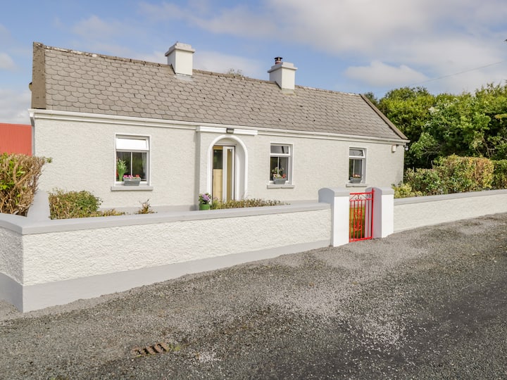 Dermot & Grania's BedArchaeological place · 4 yd
 Castle Carragh in RuinsCastle, unclassified · 143 yd
 Carrick WoodWood · 1.3 mi
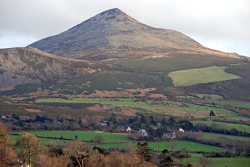 ToberaraghtHoly well · 1.5 mi
 New WoodWood · 1.8 mi
 Mass RockNamed rock · 2.2 mi
 Saint Attracta's Catholic Churchchurch/chapel · 2.4 mi
 Lough Talt TrailVisitor information · 2.5 mi
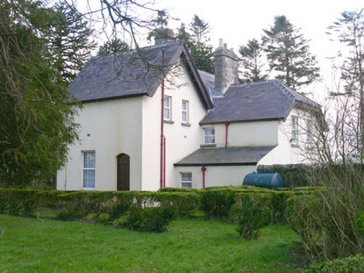 Shooting Lodgehunting/fishing lodge · 2.8 mi
 Castle (Site of)Castle, unclassified · 3.0 mi
 Largan HillMountain / peak · 3.6 mi
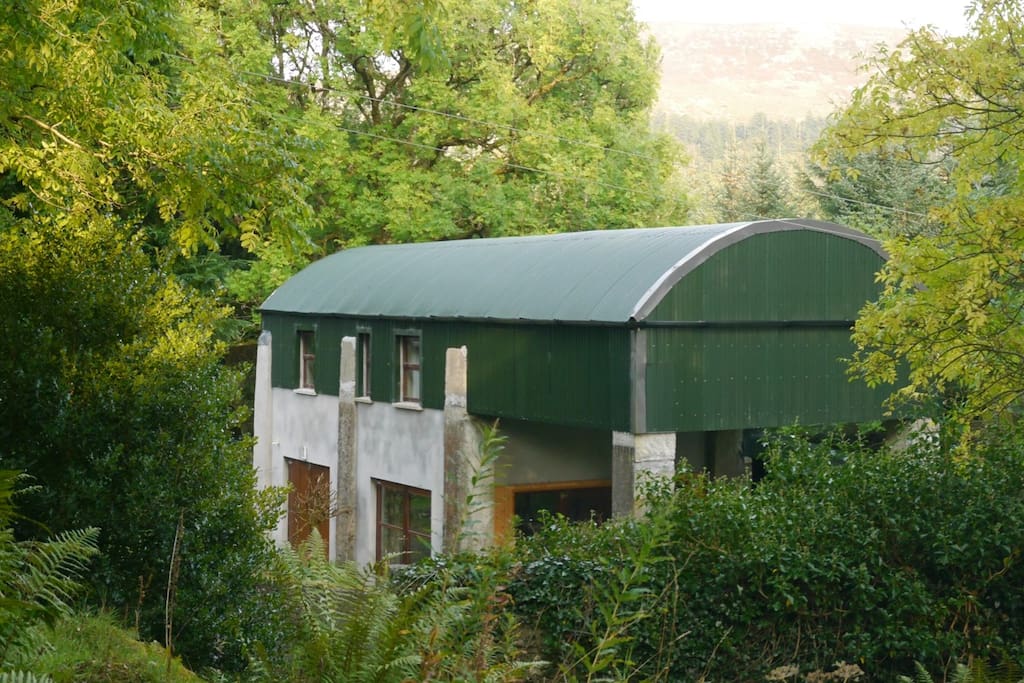 CloonacoolMountain / peak · 3.9 mi