
What is recorded here
Delphi Bridge at Tonatleva wears both 1823 and 1924 on its stonework, the second date marking a restoration. A hundred years knocked off after a bit of work: plenty would pay good money for that, though fewer would let you carve the before and after on their forehead.
Single-arch hump back road bridge over river, dated 1823. Damaged, 1922. "Restored", 1924. "Repaired", 2011. Part repointed tuck pointed coursed or snecked rubble stone walls between "bas-relief" piers with tooled cut-sandstone stringcourses supporting parapets having tooled cut-limestone coping centred on precast concrete (north) or "Guilloche"-detailed cut-limestone (south) date stones ("1924"; "1823"). Single elliptical arch with drag edged tooled limestone ashlar voussoirs. Sited spanning Bundorragha River with unkempt banks to river.
A bridge 'DESIGNED AND BUILT BY WILLIAM BALD [c.1789-1857]' representing an important component of the early nineteenth-century civil engineering heritage of south County Mayo with the architectural value of the composition, one interpretable as a reduction of the Bald-designed Bellacorick Bridge (1820-1), Bellacorick (see 31302702), confirmed not only the "sparrow pecked" sheer limestone dressings demonstrating good quality workmanship, but also by the elegant "sweep" of the arch making a pleasing visual statement at a crossing over the Bundorragha River: meanwhile, a later date stone ("1924") records the restoration of the bridge by Edward Keville Dixon (1860-1924), County Surveyor for County Mayo South Riding (appointed 1893; retired 1924), with those works forming part of a county-wide programme of reconstruction following "The Troubles" (1919-23).
From the Buildings of Ireland (National Inventory of Architectural Heritage) record 31311502
This does not grant access. Most recorded buildings are privately owned; view them only from public ground unless the owner allows entry.
Places near here
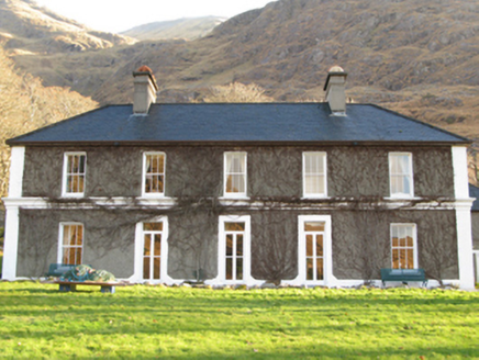 DelphiHunting/fishing lodge · 1057 yd
 Ben GormMountain / peak · 1.3 mi
 Ben CregganMountain / peak · 1.4 mi
 Scots Pine1.6 mi
 Hawthorn2.0 miDoolough Tragedy 1849 MemorialMemorial · 2.0 mi
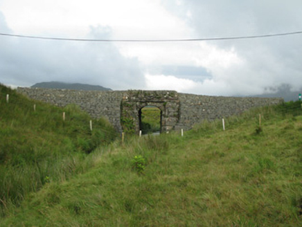 bridge2.6 miHut IslandIslet · 3.0 miTobermurryHoly well · 3.0 miThe Sheep And Wool Heritage CentreHeritage attraction · 3.1 mi
 Aasleagh WaterfallWaterfall · 3.4 mi
 Sheeffry PassMountain pass · 5.4 mi
Pictures: National Inventory of Architectural Heritage; Keith Salvesen, Wikimedia Commons · CC BY-SA 2.0; Colin Park, Geograph · CC BY-SA 2.0; Hello, I am Bruce on Flickr, Wikimedia Commons · CC BY-SA 2.0; Didier Descouens, Wikimedia Commons · CC BY-SA 4.0; Steve Edge, Wikimedia Commons · CC BY-SA 2.0; Keith Salvesen, Geograph · CC BY-SA 2.0
More historic places in County Mayo · All of County Mayo
What do you know about this place?