What is recorded here
Deerpark in County Longford preserves a broken drystone wall, perhaps the boundary of a 17th-century deer park. The wall stands half a metre high in places and forms a long line through grass now touched by nobody’s memory. It may have kept deer for a house three kilometres south, or it may have marked pride, hunger and season for people whose names disappeared.
This townland (dims. 1.3km E-W; 720m N-S) may mark the location of a deer park associated with a 17th-century house (LF023-123001-), c. 3.2km to its S (www.buildingsofireland.ie, Reg. 13402348, last accessed 16 October 2012). The deer park is defined by a drystone wall (H 0.5-0.2m; wall T 0.6m) and is best preserved on the E and S sides of the townland.
Compiled by: Caimin O'Brien
Date of upload: 26 February 2013
The monument record does not grant public access. Check the route and ask the landowner before entering private land.
- What survives
- Recorded monument
Places near here
 IndicatedHouse, indeterminate date · 586 yd
 Field system in Deerpark (shrule By.)Field system · 601 yd
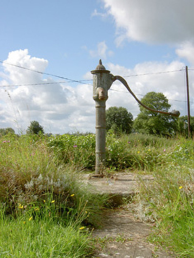 water pumpwater pump · 640 yd
 Hachured fortFairy fort / earthen ringfort · 975 yd
 European BeechEuropean Beech · 1.2 mi
 CastleCastle, motte · 1.5 mi
 Pedunculate OakPedunculate Oak · 1.9 mi
 Not locatedCastle, unclassified · 2.0 mi
 Abbeyshrule AbbeyRuins · 2.5 mi
 Goldsmith Birthplace, PallasVisitor information · 3.6 mi
 Newcastle WoodsForest · 4.0 mi
 Guest ServicesVisitor information · 4.3 mi