What is recorded here
In wet wooded area, on Longueville demesne (14912). Described by Fox (1984, 117-8) as dry and overgrown pond, covering area c. 35yd. square, with one pipe evident. Enclosing area around pond is earth-cut, stone-faced channel, now dry (D c. 1.4m; Wth 2m). Outer stream encircling site is shallow, waterlogged earth-cut channel (D 0.7m; Wth 1.7m). Decoy dated to c. 1750 when it had four pipes; in 1865 two pipes enlarged and two others abandoned; in use until 1930s (ibid.).
Larger elongated pond (long axis NE-SW), c. 100m to SE, also used as decoy with two arms of water at NE and SW ends forming pipes. New pipe constructed at pond in 1875 (ibid., 118-120). Pond now overgrown and partially drained.
The above description is derived from the published 'Archaeological Inventory of County Cork. Volume 4: North Cork' (Dublin: Stationery Office, 2000). In certain instances the entries have been revised and updated in the light of recent research.
Date of upload/revision: 14 January 2009
The monument record does not grant public access. Check the route and ask the landowner before entering private land.
- What survives
- Recorded monument
Places near here
 IndicatedKiln, lime · 213 yd
 Old Canalcanal (section of) · 232 yd
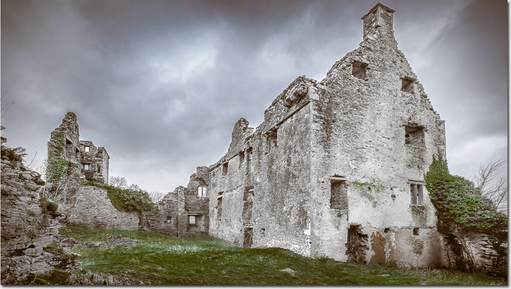
 Dromaneen CastleHeritage attraction · 691 yd
 Enclosure in DromaneenEnclosure · 1210 yd
 Old Burial GroundBurial ground · 1375 yd
 Lohort CastleCastle, tower house · 2.9 mi
 In loving memory of Elvis O'DonoghueMemorial · 3.3 mi
 Gurteenkreen Castle (Site of)Castle, unclassified · 3.4 mi
 Graveyard in Ballygiblin (duhallow By.)Graveyard · 4.0 mi
 Mount HillaryMountain / peak · 4.8 mi
 Mount Hillary - Knightfield LoopWalking route · 5.0 mi
 European YewEuropean Yew · 5.2 mi