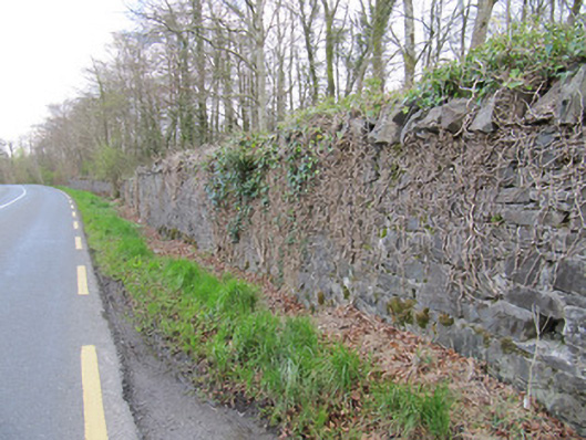
What is recorded here
Rubble stone boundary wall, erected c.1800, delineating edge of Dartrey House or Dawson Grove and Fair Field demesnes. Coursed rubble stone walls with vertical rubble stone copings. Some square-plan red brick piers with pointed rubble stone caps and rendered caps. Some portions of wall lowered, some demolished.
These demesne walls demarcate the former demesnes of Dartrey and the former Fairfield Demesne that was amalgamated with Dartrey in the nineteenth century. In common with the gate lodges, gated entrances, and the Dawson memorial, they provide a physical reminder of these demesnes to passers by and influence much of the landscape aesthetic of this area of Monaghan. Some of the walls do not survive, but those that do are typical of Irish estate walls, being of simple design, and considerable height.
This does not grant access. Most recorded buildings are privately owned; view them only from public ground unless the owner allows entry.
Places near here
 Dartrey Housedemesne walls/gates/railings · 1 yd
 Fulacht fia in Dromore WestFulacht fia · 193 yd
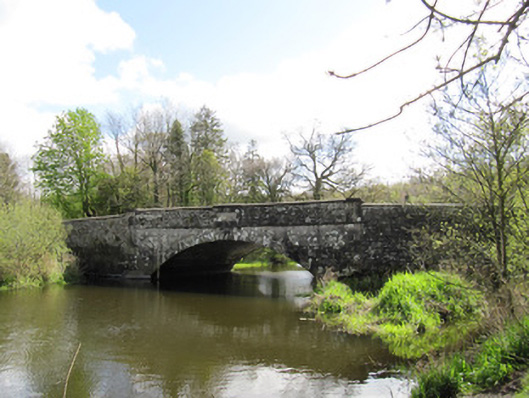 The New Bridgebridge · 462 yd
 Dromore HillMountain / peak · 489 yd
 Erica's Fairy ForestForest · 649 yd
 Not idicatedFairy fort / earthen ringfort · 691 yd
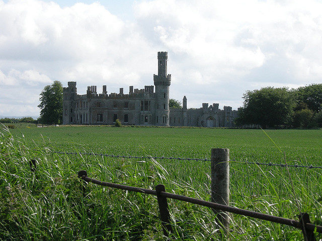 Dawson Grove DemesneWood · 702 yd
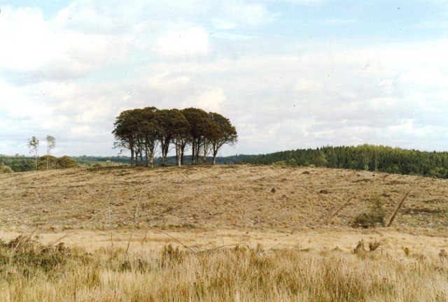 Flagpole HillMountain / peak · 1357 yd
 CastleCastle, unclassified · 1.6 mi
 Bawn in DrumsheilBawn · 3.3 mi
 Graveyard in Drumgoon (clankee By.)Graveyard · 3.6 mi
 Giant's GraveArchaeological place · 5.3 mi
Other information
Photo: National Inventory of Architectural Heritage · Website use allowed for educational or private purposes with source credit