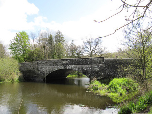
What is recorded here
Single-arch limestone bridge, dated 1804, carrying road over Dromore River. Segmental arch, having cut-stone voussoirs, raised keystones to north-west and south-east faces, and rubble stone soffit. Cut-stone walls and piers, rubble stone parapet walls with carved date stone to both external faces, cut-stone copings, partly replaced with later render. Carved stone plaques to road face of both parapets, denoting county boundary. Rubble stone abutments with cut-stone copings to parapets, battered and with single culvert-arch to south-east elevation of south abutment. Round-plan rubble stone piers with cut-stone capstones terminating parapet walls.
This is a well-designed and executed bridge, spanning two counties, as indicated in the carved plaques, which are also evident in other bridges in the county. The arch is most elegant and well detailed. the date plaque, untypically, has Roman numerals. Although over two hundred years old, the name of this bridge is testament to the age of this road as a transport route and crossing point. Visible from the park to the south, this bridge is a pleasing feature in the landscape and the cut-stone detail forms a pleasing textural contrast to the rubble stone of the parapet walls and battering.
This does not grant access. Most recorded buildings are privately owned; view them only from public ground unless the owner allows entry.
Places near here
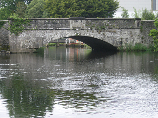 New Bridgebridge · 2 yd
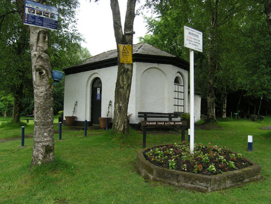 Bellamont Forestgate lodge · 96 yd
 Fulacht fia in Dromore WestFulacht fia · 472 yd
 Dromore HillMountain / peak · 948 yd
 Not idicatedFairy fort / earthen ringfort · 997 yd
 Erica's Fairy ForestForest · 1066 yd
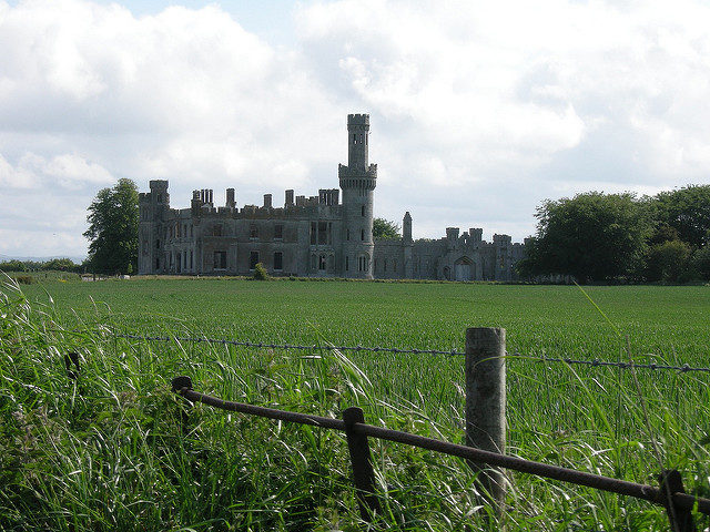 Dawson Grove DemesneWood · 1126 yd
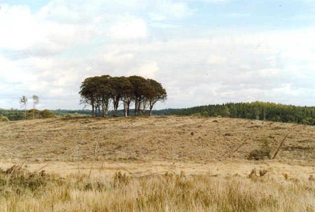 Flagpole HillMountain / peak · 1.0 mi
 CastleCastle, unclassified · 1.4 mi
 Site of Old CastleCastle, unclassified · 3.1 mi
 Graveyard in Drumgoon (clankee By.)Graveyard · 3.4 mi
 Giant's GraveArchaeological place · 5.1 mi
Other information
Photo: National Inventory of Architectural Heritage · Website use allowed for educational or private purposes with source credit