What is recorded here
In grassland withn good views in all directions. The house mentioned in the Civil Survey (1654-6) is described as a 'good thatcht house' in the townland of Ballytonry which belonged to Sir John Magrath of Allyvollane (Simingtion 1934, vol. 2, 58). This house had been provisionally located at 'Damerville' but this house was, upon inspection found to be a 19th-century two-storey three-bay house with an earlier house to rear, probably of 18th-century date. There is no evidence of the house mentioned in the Civil Survey. There is a bullaun stone (TS066-030002-) located to the E of the E side of the house. The 17th-century house remains unlocated within Ballyconry townland.
Compiled by: Jean Farrelly
Date of upload: 26 August 2011
The monument record does not grant public access. Check the route and ask the landowner before entering private land.
- What survives
- Recorded monument
Places near here
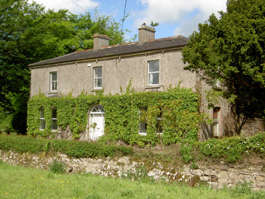 Damervillehouse · 579 yd
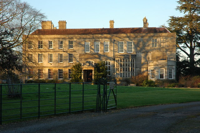 Damerville Courts (in Ruins)House, 18th/19th century · 873 yd
 CastleCastle, ringwork · 905 yd
 Enclosure in Shronell (bruis Par.)Enclosure · 1595 yd
 Ladys WellHoly well · 1596 yd
 MoatCastle, motte · 1.9 mi
 SlievenamuckMountain / peak · 3.5 mi
 Oola HillMountain / peak · 3.8 mi
 Bansha ForestForest · 4.0 mi
 Carn (site of)Cairn, burial cairn · 4.3 mi
 Darby's Bed Walk LoopWalking route · 5.3 mi
 Saint Patrick's WellSpring · 6.7 mi