What is recorded here
Dallán stands at the south end of Doneraile Court demesne, a triangular stone with a small hole through one edge, locally called the Toll Stone. It escaped the surveyors who drew Cork in 1842 and 1905, as if it belonged to a older cartography of shadows and permission. Perhaps people once paid it something small, a marble, a memory, a name spoken twice, before crossing into the land beyond. The hole does not look like damage. It looks like a socket, waiting for the shape of what must be given up.
Not marked on 1842 and 1905 OS 6-inch maps. In S end of demesne of Doneraile Court (14887). Stone (H c. 1m; c. 1m x c. 0.5m) is triangular in shape, long axis E-W. Perforation (diam. c. 10cm) through S edge of stone. Known locally as 'Toll Stone'.
The above description is derived from the published 'Archaeological Inventory of County Cork. Volume 4: North Cork' (Dublin: Stationery Office, 2000). In certain instances the entries have been revised and updated in the light of recent research.
Date of upload/revision: 14 January 2009
Dallán, Demesne is likely a prehistoric standing stone, possibly dating to the Bronze Age, given the presence of a perforation which may have served a ritual or functional purpose. Its alignment and location suggest it could have had ceremonial significance, though specific folklore or use remains unrecorded.
The monument record does not grant public access. Check the route and ask the landowner before entering private land.
- What survives
- Recorded monument
Places near here
 Doneraile Courtornamental canal/lake · 414 yd
 European YewEuropean Yew · 574 yd
 ToberasoolHoly well · 592 yd
 Scots PineScots Pine · 602 yd
 Saffronhill Cottagecountry house · 649 yd
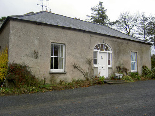 Hermitagehouse · 660 yd
 Fulacht fia in Demesne (fermoy By.)Fulacht fia · 747 yd
 Doneraile HouseHeritage attraction · 837 yd
 Doneraile Castle (Site of)Castle, unclassified · 1198 yd
 Smith's WellSpring · 1.2 mi
 Caherduggan Castle (Site of)Castle, unclassified · 2.4 mi
 Blackwater (Avondhu) WayWalking route · 8.1 mi