What is recorded here
Clearly visible on Bing Maps (http://binged.it/19yShg9) and to a lesser extent on the 2000 and 2005 OS ortho imagery (http://maps.osi.ie/publicviewer/#V1,695140,689805,6,0). A long rectangular enclosure (L c. 286m; Wth c. 34m) defined by banks and running in an ENE-WSW direction on a steep slope, with a cairn (WI027-044----) just outside the NE corner. The banks (avg. Wth 5m; H 0.3-0.6m) which are probably constructed from the mountainside scree, are almost entirely covered in heather and sod, but in one place the stone fabric of the bank is fully exposed. The lower end of the monument terminates with a bank while the upper end appears to be open. While the remains are insufficient to allow classification with certainty, interpretation as a possible cursus monument would not be inconsistent with the surviving evidence.
Compiled by: Chris Corlett and Claire Breen
Date of upload: 25 June 2013
The monument record does not grant public access. Check the route and ask the landowner before entering private land.
- What survives
- Recorded monument
Places near here
 Keadeen MountainMountain / peak · 198 yd
 IndicatedFairy fort / earthen ringfort · 1.0 mi
 Castle in ruinsCastle, unclassified · 1.1 mi
 Dwyer-McAllister Cottagefarm house · 1.1 mi
 Dwyer McAllister CottageMuseum · 1.1 mi
 Ecclesiastical enclosure in CastlequarterEcclesiastical enclosure · 1.2 mi
 SlievereaghMountain / peak · 1.6 mi
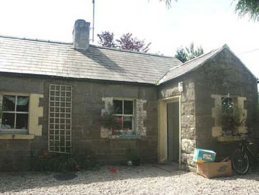 Parnell Cottageworker's house · 1.8 mi
 Saint Brigit's ChairNamed rock · 1.8 mi
 Saint Brigit's Mass StoneNamed rock · 2.0 mi
 Sam McAllistair GraveMemorial · 2.0 mi
 Michael Dwyer MemorialMemorial · 2.6 mi