What is recorded here
In rough hilly ground. According to local information, there was a cupmarked stone at this location but, during a subsequent field inspection of the area, it could not be located.
The above description is derived from 'The Archaeological Inventory of County Cork. Volume 5' (Dublin: Stationery Office, 2009).
Date of upload: 22 December 2009
The monument record does not grant public access. Check the route and ask the landowner before entering private land.
- What survives
- Recorded monument
Places near here
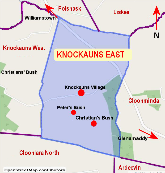 IndicatedBooley hut · 405 yd
 Burial ground in Gortnacarriga (carbery W. (w.d) By.)Burial ground · 412 yd
 Castle (Site of)Castle, unclassified · 1566 yd
 RoadRoad, road/trackway · 1.1 mi
 Creamery PlatformMemorial · 1.2 mi
 Barley CoveHeritage attraction · 1.4 mi
 Dunlough CastleHeritage attraction · 1.6 mi
 Three Castles (in Ruins)Castle, tower house · 1.6 mi
 Chimney CoveBeach / strand · 1.7 mi
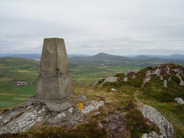 Mizen PeakMountain / peak · 1.8 mi
 KnockboyMountain / peak · 1.9 mi
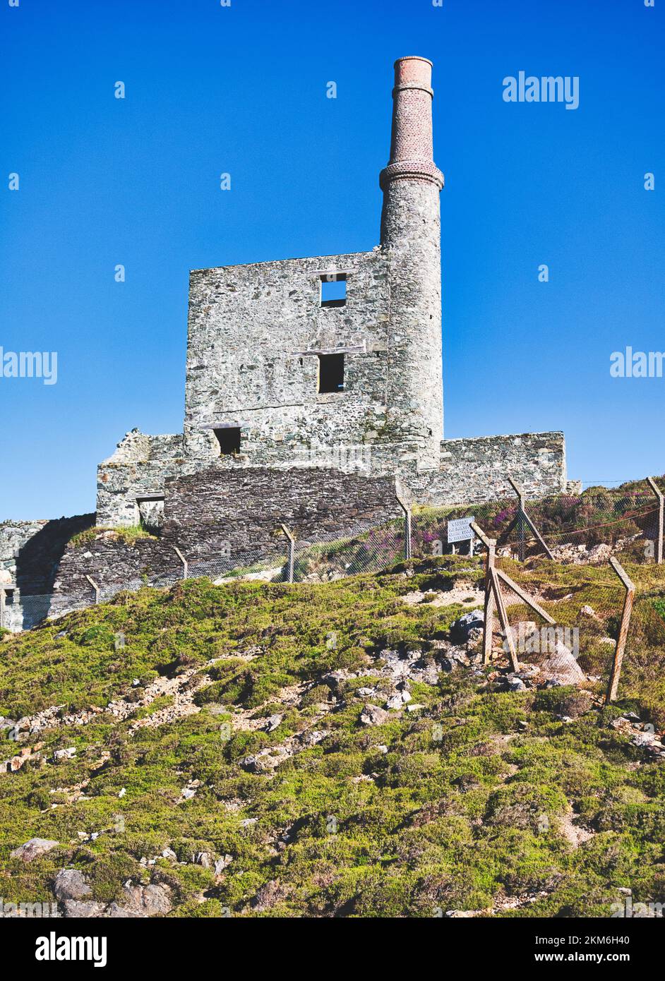 MineMine, copper · 2.0 mi