
What is recorded here
From OpenStreetMap (© OpenStreetMap contributors) n12544223463
Places near here
Photo credits
- Oliver Dixon, Wikimedia Commons · CC BY-SA 2.0
- Maker not stated on source page, visitwicklow.ie
- Eirian Evans, Wikimedia Commons · CC BY-SA 2.0
- Maker not stated on source page, www.pinterest.com
- National Inventory of Architectural Heritage
- Maker not stated on source page, www.tripadvisor.com.au
- Maker not stated on source page, en.wikipedia.org
- Schcambo at English Wikipedia, Wikimedia Commons · Public domain
- Neil Arthurs, Neil Arthurs: Landscape Photography
 Shay Elliott memorialMemorial · 1.0 mi
Explorer Tom Shay Elliott memorial is where a love story went catastrophically wrong next door in 1942. The heartbreak is so potent…
 Decorated stone (present location) in BrockaghDecorated stone (present location) · 2.0 mi
Explorer Tom Decorated stone in Brockagh is a boulder with a labyrinth design on it, found by men hunting ferrets, which is an oddly…
 Glendalough Visitor CentreMuseum · 2.0 mi
Explorer Tom Glendalough Visitor Centre stands at the start of the monastic visit in County Wicklow, giving the valley's stones a…
 Graveyard in BrockaghGraveyard · 2.0 mi
Explorer Tom Graveyard in Brockagh smells of wet rushes and bad decisions, probably because a smuggler hid a barrel of contraband…
 Trinity Church (in ruins)Cross-slab · 2.0 mi
Explorer Tom Trinity Church cross-slab in Brockagh has been worn almost smooth by centuries of feet treating it like a doormat for…
 Knockrath HouseWorker's house · 2.3 mi
Explorer Tom Knockrath House would complain to the council that its picturesque estate vibe is being ruined by your noisy car. It…
 Castle HillMountain / peak · 2.5 mi
Explorer Tom Castle Hill is guarding a hidden treasure that turns out to be a rusty biscuit tin full of old coins. Every explorer…
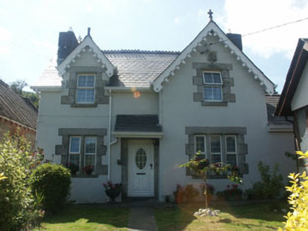 worker's house2.6 mi
Explorer Tom Worker's house in Knockrath Little is locked in a bitter feud with the rain, which refuses to respect its uPVC windows.…
 Native Woodland Trust: Paddock Hill ReserveNature reserve · 3.8 mi
Explorer Tom Paddock Hill Reserve above Laragh is the sort of place that makes a young woodland seem older than its years, mainly…
 CloghernaghMountain / peak · 4.1 mi
Explorer Tom Cloghernagh stands above Glenmalure like Lugnaquilla's quieter accomplice, a broad Wicklow summit that makes you earn…
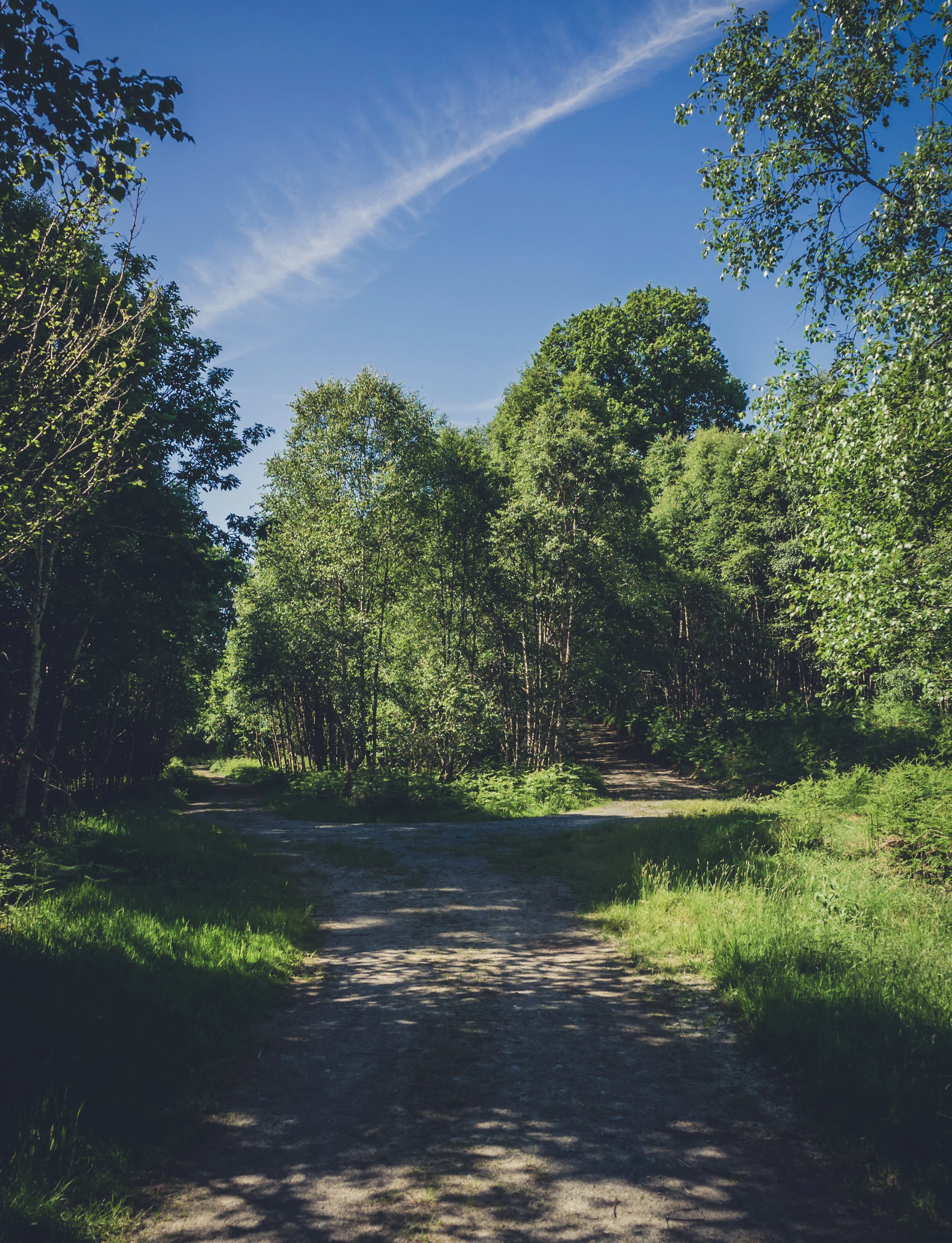 Vale of Clara Nature ReserveNature reserve · 4.3 mi
Explorer Tom The Vale of Clara near Rathdrum is a Wicklow oak wood beside the Avonmore River, where the path quietens under the…
 Castle Kevin (in ruins)Castle, Anglo-Norman masonry castle · 4.9 mi
Explorer Tom Castle Kevin’s masonry is whispering secrets about a secret code carved into the stones that nobody can read. It looks…
More mountains and hills in County Wicklow · All of County Wicklow

What do you know about this place?Tap to add a comment or ask a question