What is recorded here
Centrally located within KE098-061001- is a cross-inscribed slab, 1.58m high. Of fairly regular elevation, it features a pointed top and measures .24m x .09m at base. Its W face bears a neatly executed Latin cross, with square terminals, which rises from a triangular base. A small square marks the convergence of the arms and shaft. An equal-armed linear cross, .7m high, is inscribed on the slab's opposite face.
The above description is derived from A. O'Sullivan and J. Sheehan (compilers), 'The Iveragh peninsula: an archaeological survey of South Kerry'. Cork University Press (1996), no. 949. In certain instances the entries have been revised and updated in the light of recent research.
Date of upload: 30 July 2013
The monument record does not grant public access. Check the route and ask the landowner before entering private land.
- What survives
- Recorded monument
Places near here
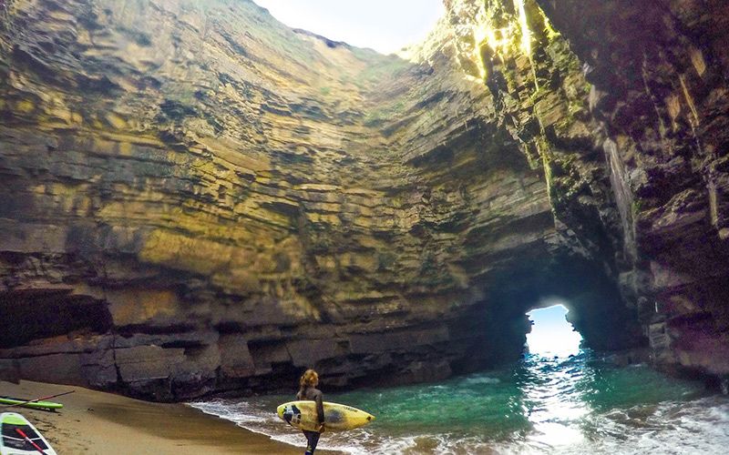 CaveMan-made underground passage · 127 yd
 An PlaoscHeadland · 1.1 mi
 Mullach BogMountain / peak · 1.1 mi
 Eagles HillMountain / peak · 1.2 mi
 IndicatedHoly well · 1.4 mi
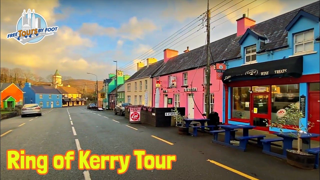 RoadRoad, road/trackway · 1.9 mi
 Copper Mines (Disused)Mine, copper · 2.0 mi
 2Cliff · 2.2 mi
 Castle Cove (in Ruins)Castle, tower house · 3.2 mi
 CastleCastle, tower house · 3.5 mi
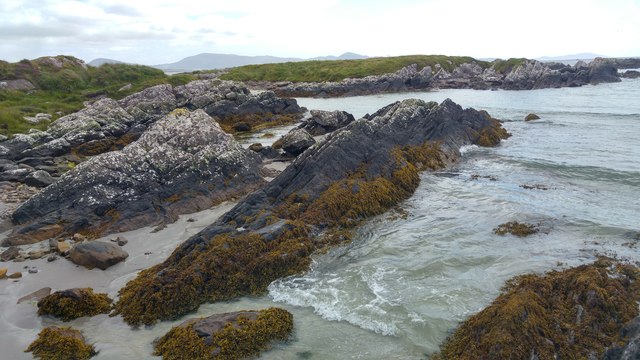 White StrandBeach / strand · 3.8 mi
 Reen BeachBeach / strand · 3.8 mi