What is recorded here
One of two possible cross slabs (KD032-044010- and KD032-044015-) recorded by Fitzgerald (1899-1902(f), 161 (C)) in ‘Killeen Cormac’ burial ground (KD032-044----), and described as a ‘green-flag … standing 4ft [c. 1.22m] above the ground, 2ft [c. 0.61m] in breadth and about 5 in. [c. 0.13m] in thickness [with] on it a plain cross 23 in. [c. 0.59m] long and 18 in. [c. 0.46m] across the arms. … the workmanship very rude’ (op. cit 159-60). The slab was not located.
Compiled by: Gearóid Conroy
Date of upload: 21 November 2013
Cross-slab in Colbinstown likely dates to the early Christian period (5th–10th centuries AD) and may have served a funerary or commemorative function, as suggested by its location in a burial ground. The term "green-flag" may indicate a partially buried or leaning slab, though its specific symbolic meaning remains unclear.
The monument record does not grant public access. Check the route and ask the landowner before entering private land.
- What survives
- Recorded monument
Places near here
 Church in ColbinstownChurch · 1 yd
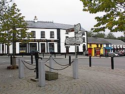 IndicatedFairy fort / earthen ringfort · 443 yd
 Enclosure in RahoonbeakEnclosure · 624 yd
 Colbinstown Castle (in Ruins)Castle, unclassified · 668 yd
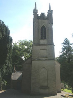 Church of the Ascension (Ballynure)church/chapel · 1671 yd
 Spratstown Fox CovertWood · 1.1 mi
 Grangecon Castle (in ruins)Castle, tower house · 1.5 mi
 Site of Fair GreenForest · 1.6 mi
 Memorial to 1798 rebellionMonument · 3.2 mi
 Ballyhook HillMountain / peak · 3.8 mi
 Battle of Kilrushbattle · 4.8 mi
 Tinoran HillMountain / peak · 4.9 mi