What is recorded here
This cross-slab is located 5m to the W of a holy well (GA105-00300) and is lying adjacent to an 18th-century cross (GA105-003----). Described by Higgins (1987, ii, 355, no. 78) as a rectangular limestone slab (L 0.66m; Wth 0.26m; T 0.05-0.07m), now recumbent. Its upper half bears a Greek cross ‘formed from four recessed segments of a circle’. The recesses are deeply pocked. Other areas of this face of the slab had also been worked to flatten irregularities. There was some evidence of trimming on the sides and the back of the slab was rough.
Compiled by: Olive Alcock
Edited by: Olive Alcock
Date of revised upload: 16 November 2022
This cross-slab likely dates to the early Christian period (5th–10th centuries) and may have functioned as a Christian memorial or waymarker, possibly associated with the nearby holy well. Such stones often carried religious or protective symbolism in local tradition.
The monument record does not grant public access. Check the route and ask the landowner before entering private land.
- What survives
- Recorded monument
Places near here
 Stone CrossCross · 1 yd
 CastleCastle, tower house · 252 yd
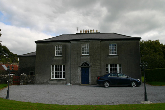 Millmount Househouse · 278 yd
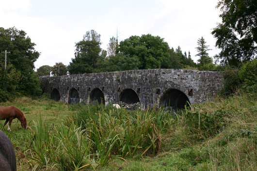 bridgebridge · 587 yd
 Ritual siteRitual site, holy tree/bush · 785 yd
 Site of CastleCastle, unclassified · 1.2 mi
 Blake's IslandIslet · 2.1 mi
 Ash IslandIslet · 2.1 mi
 Long PointHeadland · 3.0 mi
 Scalpeen RockNamed rock · 4.1 mi
 Turoe StoneHeritage attraction · 5.8 mi
 Derrybrien Bog SlideHeritage attraction · 6.7 mi