What is recorded here
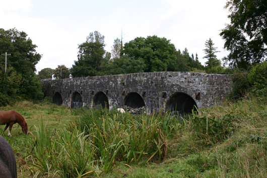
Bridge in Gortnamackan gives the River Duniry seven arches and pedestrians little pockets to retreat into when traffic passes. The river gets five spare entrances; you get to stand in a notch and discover how attached you are to your elbows.
Seven-arch limestone bridge, built c.1780, carrying road over River Duniry, comprising two river arches and five flood arches. Rubble walls and parapet walls with vertical coping stones. Round arches with dressed voussoirs, with paired cast-iron square tie-plates to spandrels. V-cutwaters to upriver (east) elevation, rising to form pedestrian refuges, having curved walls to inner face of parapet. Soffits have been gunnelled. Curved rubble approach walls. Square-headed drain openings to parapets.
This impressive bridge stands as a testament to the skill of local engineers and stone masons of the eighteenth century. The numerous flood arches and interesting combination pedestrian refuges and cutwaters illustrate the ways in which such structures are tailored to local traffic and river conditions.
From the Buildings of Ireland (National Inventory of Architectural Heritage) record 30410505
This does not grant access. Most recorded buildings are privately owned; view them only from public ground unless the owner allows entry.
Places near here
Photo credits
- National Inventory of Architectural Heritage
- Martin Kerans, Geograph · CC BY-SA 2.0
- Vanessa Kennedy, Wikimedia Commons · CC BY 2.0
- DeeEmm, Geograph · CC BY-SA 2.0
- Mike Searle, Wikimedia Commons · CC BY-SA 2.0
- Dirk Huth, Wikimedia Commons · CC BY-SA 3.0
- Malene Thyssen, Wikimedia Commons · CC BY-SA 3.0
- Alvesgaspar, Wikimedia Commons · CC BY-SA 3.0
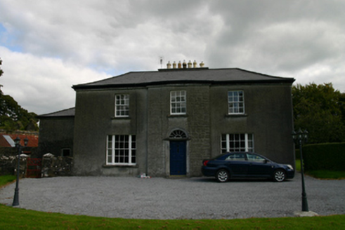 Millmount HouseHouse · 310 yd
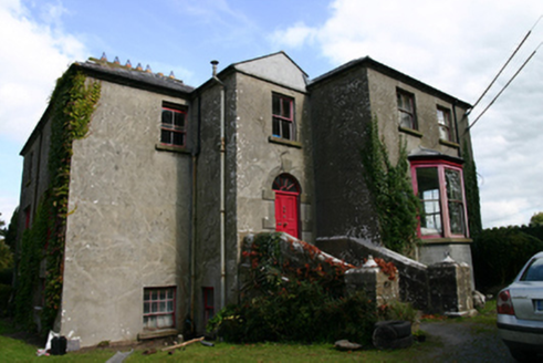 Killinan HouseRectory/glebe/vicarage/curate's house · 855 ydBlake's IslandIslet · 2.4 miAsh IslandIslet · 2.4 mi
 Cregg Castle (in ruins)Castle, tower house · 2.4 mi
 St. Brendans Catholic CathedralCathedral · 3.3 mi
 Long PointHeadland · 3.3 mi
 Designed landscapeDesigned landscape, folly · 3.7 mi
_-_geograph.org.uk_-_4070919.jpg/250px-Castles_of_Connacht,_Caherkinmonwee,_Galway_(1)_-_geograph.org.uk_-_4070919.jpg "Photo: Mike Searle, Wikimedia Commons · CC BY-SA 2.0") Caher CastleCastle · 4.3 mi
Caher CastleCastle · 4.3 mi Turoe StoneHeritage attraction · 5.8 mi
 European Beech10 mi
 Common Lime10 mi
More historic places in County Galway · All of County Galway
What do you know about this place?