
What is recorded here
The cross now stands at the bottom of a garden, accessed by a short laneway N of where it is marked on the OS 1937 ed. It (DU026-54004-) was formerly located in Kiltuc Church (DO026-054001-) but was re-erected c. 1901 on a base in the laneway between Rathmichael and Shankill Castle. The base was marked on the map as 'Cromlech'. It is a round granite boulder with a level top and a socket cut into the centre to receive the cross (H 0.3m, diam 0.7m). On the SE corner is a cupmark. The cross is formed from granite with an oval head and short arms. It is chamfered all around on both faces. The SE face bears a crucifixion scene in relief and the figure of Christ is naked. The NW face contains a similar figure outlined by a broad incised line (H 0.68m, Wth 0.43m); (Ó hEailidhe 1958, 106; Turner 1983, 64-65, 73).
Compiled by: Geraldine Stout and Padraig Clancy.
Revised upload on: 19 April 2018.
A local church or high cross; wider significance not recorded.
The monument record does not grant public access. Check the route and ask the landowner before entering private land.
- What survives
- Recorded monument
Places near here
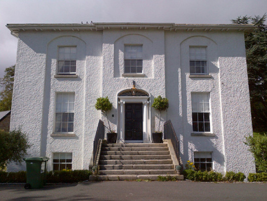 Shankill Housecountry house · 228 yd
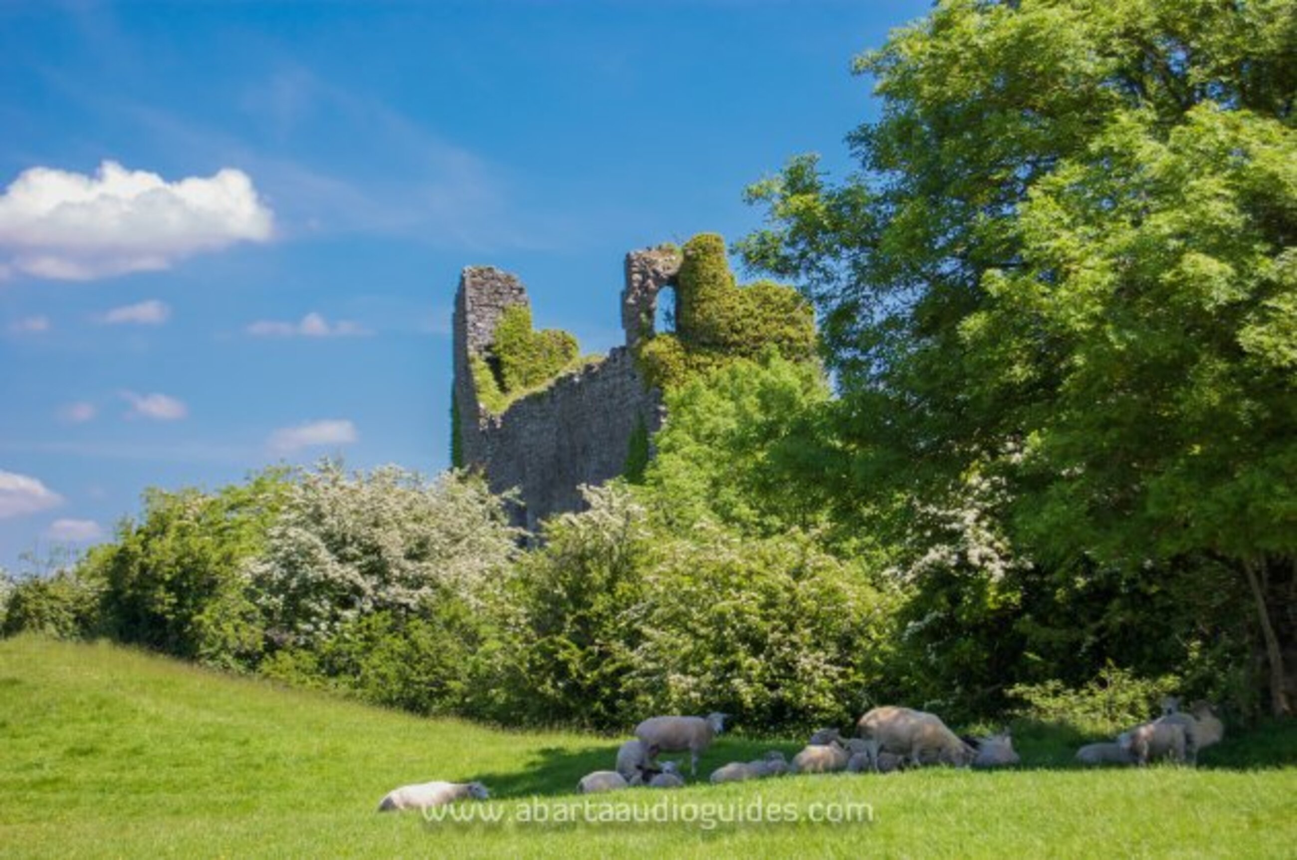 Settlement desertedSettlement deserted, medieval · 238 yd
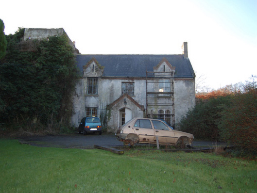 Shankill Castlefarm house · 311 yd
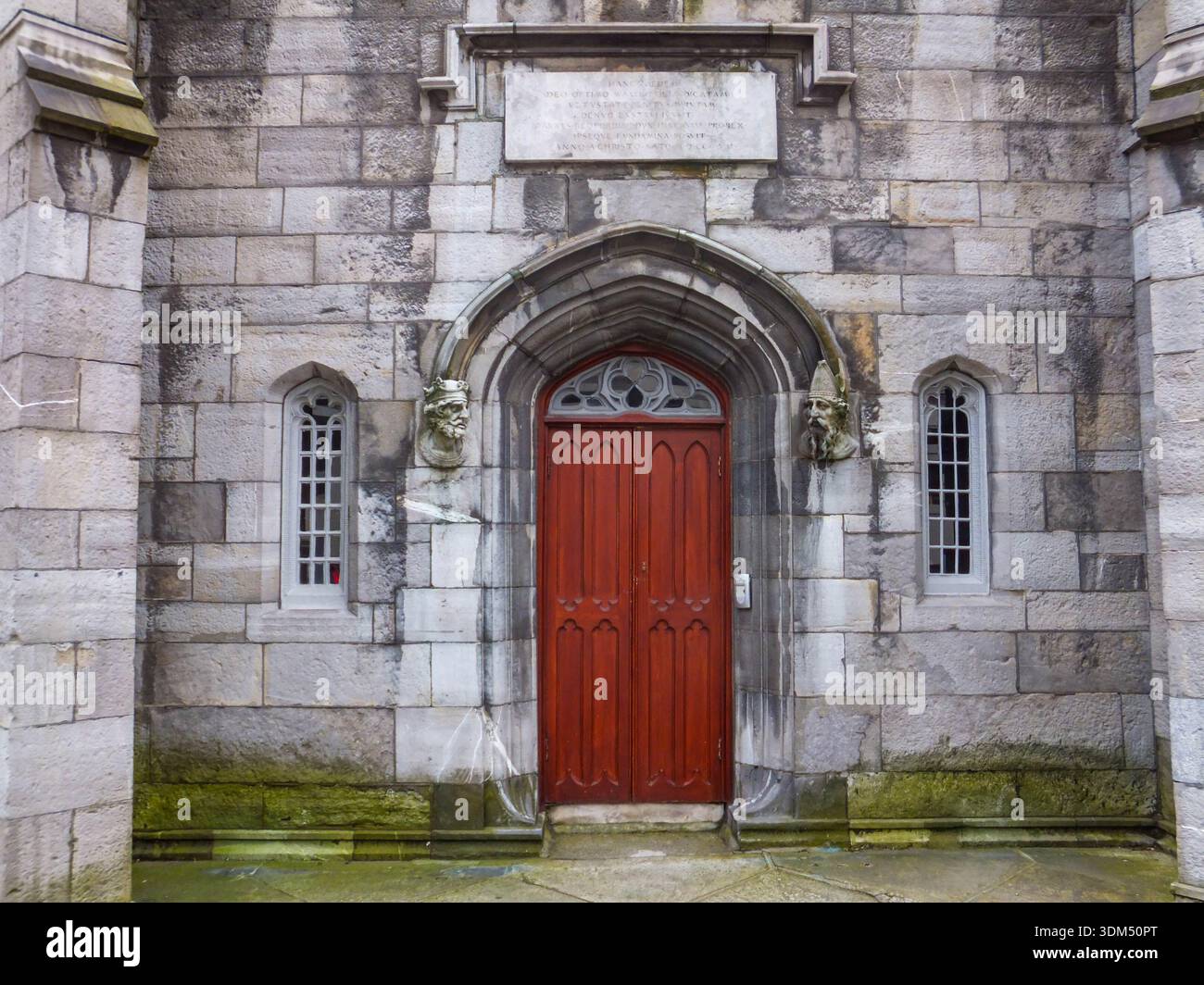 Ecclesiastical enclosure in RathmichaelEcclesiastical enclosure · 467 yd
 Rathmichael WalkWalking route · 535 yd
 Bawn in RathmichaelBawn · 910 yd
 Puck's CastleCastle · 931 yd
 Dublin Mountains Way Trailhead SignVisitor information · 1308 yd
 St. James GateVisitor information · 1.0 mi
 Carrickgollogan HillMountain / peak · 1.1 mi
 Loughlinstown WoodsNature reserve · 1.2 mi
 Monterey CypressMonterey Cypress · 1.2 mi
Other information
Photo: Credit not shown in the picture search · Rights wording not checked; contact us if this picture should be removed