
What is recorded here
A standing stone (DG013-004003-) 1.42m high and orientated N-S has a cross incised on it. There are small circles at the terminals and at the centre. It is situated on low ground close to the shore just N of St. Colmcille's holy well (DG013-004001-) (Ó Muirgheasa No. 100). 10m SE of the well is a feature marked…
Read the whole record
From the National Monuments Service (Archaeological Survey of Ireland) record DG013-004003
Places near here
Photo credits
- N Chadwick, Wikimedia Commons · CC BY-SA 2.0
- National Inventory of Architectural Heritage
- Matthew Chadwick, Wikimedia Commons
- Kay Atherton, Wikimedia Commons · CC BY-SA 2.0
- Maker not stated on source page, ru.pinterest.com
- N Chadwick, Geograph · CC BY-SA 2.0
- Corinna Schleiffer, Wikimedia Commons · CC BY-SA 2.0
- Kenneth Allen, Wikimedia Commons · CC BY-SA 2.0
- Malcolm Neal, Geograph · CC BY-SA 2.0
- Maker not stated on source page, en.wikipedia.org
- Patrick Mackie, Geograph · CC BY-SA 2.0
- Golfing in Ireland; photographer not stated, Source publisher
 Cliffs, Inishowen HeadPublicly named cliff or headland · 640 yd
Explorer Tom Cliffs, Inishowen Head are where a priest once lost a bet and had to walk home in the rain, which explains his…
 Inishowen Signal StationSignal tower · 655 yd
Explorer Tom Inishowen Signal Station had a phone, a flag machine, and a Morse code keyboard! I bet the watchman spent his whole…
 Inishowen Head LoopOfficial walking route · 658 yd
Explorer Tom Inishowen Head Loop sends you from an old lookout tower into open Donegal country, with Lough Foyle beside you and, on…
 Port a Dorais Cave and Natural DoorSea cave and natural arch · 863 yd
Explorer Tom Port a Dorais Cave is incredibly proud of its natural door, which it thinks is far more elegant than any human-made…
 Stroove Standing Stones / Megalithic TombMegalithic tomb · 1213 yd
Explorer Tom Over at *Stroove Standing Stones*, two tall uprights still stand guard on a steep slope near Inishowen Head, guarding…
 StrooveOfficial bathing water · 1568 yd
Explorer Tom Stroove Beach sits on Inishowen's eastern edge with two lighthouses keeping an eye on the sand, as if the place might…
 Stroove LighthouseLighthouse · 1682 yd
Explorer Tom Stroove Lighthouse has a former twin tower 153 yards from the other one. George Halpin designed the pair for lights…
 Dunagree PointHeadland · 1691 yd
Explorer Tom Dunagree Point sits at the mouth of Lough Foyle with two old lighthouse towers keeping company and a view that makes…
 Michael John's PubPub · 1.2 mi
Explorer Tom Michael John's Pub has two first names, which makes it basically a committee of one. I saw a toucan on the wall, but…
 Carrowtrasna Burial Ground / Mass RockBurial ground · 1.4 mi
Explorer Tom Carrowtrasna Burial Ground / Mass Rock uses natural rock ledges as walls, saving the builders some serious effort.…
 White StrandBeach / strand · 1.5 mi
Explorer Tom White Strand near Greencastle is the sort of small Inishowen beach that lets you drive past without noticing, then…
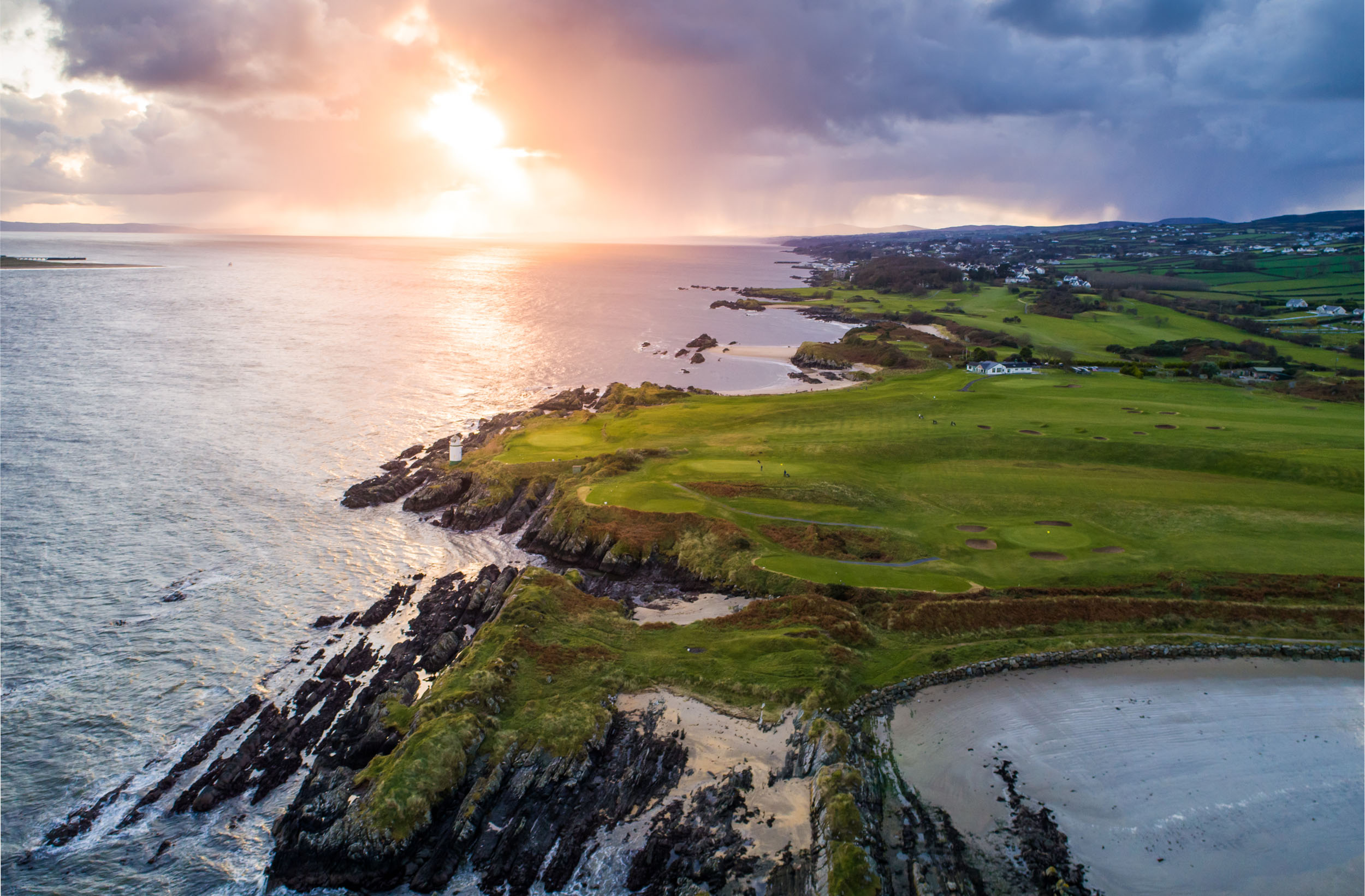 Greencastle Golf ClubGolf course · 2.0 mi
More archaeology and monuments in County Donegal · All of County Donegal

What do you know about this place?Tap to add a comment or ask a question