What is recorded here
Cross-inscribed stone standing inside a cillín both of which are located in SE quadrant of a possible ecclesiastical enclosure [LI031-040001-]. Described by O'Kelly (1943, 235) as following; 'In the south east corner of the main enclosure [LI031-040001-] is the Killeen [LI031-040002-]. This consists of a mound on top of which is a cross-inscribed standing stone. This was cut off from the main enclosure by a stone wall, which is now very collapsed. The standing stone of 4' [1.2m] high and measures 2' [0.6m] by 1' 4" [0.4m] at the base. It is limestone. The cross is on the west face and is lightly incised. It is 10" [0.25m] high and 5" [0.12m] across the arms. Its top is 10" [0.25m] from the top of the stone. The maximum depth of the incision is 1 centimeter. In 1935 the stone had fallen flat to the west. In that year the late Archdeacon Begley of Bruff had it re-erected. In doing this a number of circular flat pebbles were found around the base of the stone. The monument is called Kilorath on the O.S. map. The townland also has this name and is one of the places mentioned as having been visited by St. Patrick in his journey through Limerick'.
See attached drawing of cross-inscribed stone taken from O'Kelly 1942-3, Fig. 16
Compiled by: Caimin O'Brien
Date of upload: 25 July 2017
The monument record does not grant public access. Check the route and ask the landowner before entering private land.
- What survives
- Recorded monument
Places near here
 KillorathBurial ground · 15 yd
 Green Lawnhouse · 838 yd
 Cathair Gail, HachuredEnclosure · 1012 yd
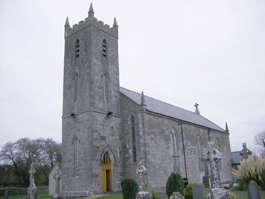 Saint Mary's Catholic Churchchurch/chapel · 1046 yd
 CastleCastle, unclassified · 1.0 mi
 Glenogra Castle (in ruins)Castle, Anglo-Norman masonry castle · 1.2 mi
 Lough GurVisitor information · 2.2 mi
 Grange Stone CircleArchaeological place · 2.2 mi
 Skool HillMountain / peak · 3.5 mi
 Villiers WellSpring · 4.4 mi
 European ashEuropean ash · 4.8 mi
 KnockainyMountain / peak · 5.4 mi