What is recorded here
The following description is derived from both the published 'Archaeological Inventory of County Louth' (Dublin: Stationery Office, 1986) and the 'Archaeological Survey of County Louth' (Dublin: Stationery Office, 1991). In certain instances the entries have been revised and updated in the light of recent research.
Date of upload/revision: 22 June 2012
Revised by: Claire Breen
Two cross-inscribed stones are situated on top of a high roadside verge between Ardee and Dunleer. One (LH017-089001-) consists of a flat-surfaced stone c. 0.6m high with a small plain cross carved within a circle at its bottom right-hand side. The other (LH017-089002-), which had once been removed to a nearby shop, consists of an irregular slab (0.5m by 0.45m by 0.11m) except for one straight edge. It has a simple inscribed Latin cross and circle which occupy most of its uneven surface. The circle cuts across the arms of the cross which extend outwards and have T-shaped terminals. (CLAJ 1956, 407; PRIA 61C, 118, 121).
The monument record does not grant public access. Check the route and ask the landowner before entering private land.
- What survives
- Recorded monument
Places near here
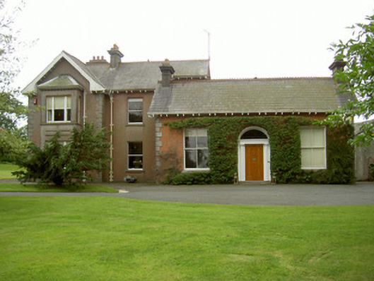 Hoathstown Housefarm house · 433 yd
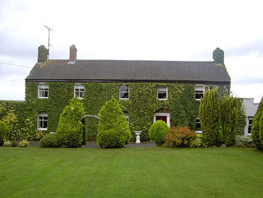 Marksville Househouse · 441 yd
 IndicatedHoly well · 1204 yd
 Graveyard in StickillinGraveyard · 1275 yd
 Enclosure in StickillinEnclosure · 1423 yd
 Not idicatatedCastle, unclassified · 1.2 mi
 Dawsons MoatCastle, motte and bailey · 1.4 mi
 Monterey CypressMonterey Cypress · 1.7 mi
 Graveyard in Richardstown (ardee By., Richardstown Par.)Graveyard · 1.7 mi
 European White ElmEuropean White Elm · 2.2 mi
 Mount OrielMountain / peak · 3.9 mi
 Black HillMountain / peak · 4.5 mi