
What is recorded here
Indicated on the 1938 'OS 6-inch' map. The OS Letters refer to a well SE of the old church (LH017-015001-) called Tober Phadraig. The same well seems to have been later called St. Brigid's Well (MacIvor 1956, 403). Tradition claims St. Patrick struck a spring beside the cave at Stickillin and that afterwards it was called Patrick's Stream (Irish Folklore Commission Schools' Manuscripts 670, 12). It lies in a hollow on the slope of a low ridge and is circular and drystone lined (diam. 1.38m; D 1.68m). When inspected by ASI in 1966 it was almost dried up and an iron pump with a concrete trough had been erected at it.
Compiled by: Claire Breen
Date of upload: 20 June 2012
Linked to St. Brigid, the well was traditionally associated with healing and fertility rituals. Local tradition held that the well's waters had curative properties, particularly for women's ailments and to ensure safe childbirth.
The monument record does not grant public access. Check the route and ask the landowner before entering private land.
- What survives
- Recorded monument
Places near here
 Graveyard in StickillinGraveyard · 123 yd
 Stickillin Church (in ruins)Church · 130 yd
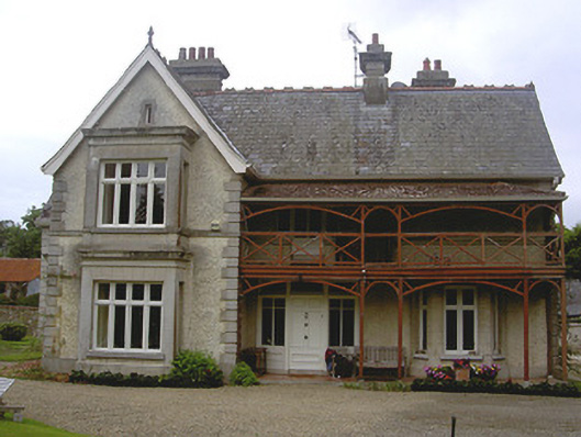 Stickillin Househouse · 160 yd
 Enclosure in StickillinEnclosure · 573 yd
 Enclosure in RockEnclosure · 953 yd
 Dawsons MoatCastle, motte and bailey · 1.0 mi
 Roodstown CastleCastle, tower house · 1.3 mi
 Sir Frederick Foster MemorialMemorial · 1.7 mi
 Monterey CypressMonterey Cypress · 1.7 mi
 Lebanon CedarLebanon Cedar · 1.8 mi
 Mount OrielMountain / peak · 4.5 mi
 Drummeenagh HillMountain / peak · 5.4 mi
Other information
Photo: Credit not shown in the picture search · Rights wording not checked; contact us if this picture should be removed