What is recorded here
Curraclone graveyard holds a rough limestone slab where a Latin cross still emerges from the earth. The stone lies half buried south of the church ruins, its T-shaped arms and concave bar carved for hands that stopped waving centuries ago. It stood before memory failed, marking a place where the living still set flowers and the dead kept watch.
Standing S of the church ruins (LA014-035001-) in S quadrant of Curraclone graveyard (LA014-035002-). Present remains consist of a low upright cross-inscribed roughly hewn limestone rectangular shaped slab (H 0.45m; Wth 0.30m; T 0.11m) decorated with a simple Latin cross on its east face which was located lying down flat approx 15m NW of the gate entrance of the graveyard (LA014-035002-). The stone is now upright with only the top half of the cross visible above the surface of the graveyard. The terminals of both arms and shaft of the cross are T-shaped the cross bar being slightly concave in shape (Fitzpatrick 1991, 213).
The above description is derived from the published 'Archaeological Inventory of County Laois' (Dublin Stationery Office, 1995) compiled by P. David Sweetman, Olive Alcock and Bernie Moran. In certain instances the entries have been revised and updated in the light of recent research.
Revised by: Caimin O'Brien
Date of revised upload: 11 March 2015
Dated to the early medieval period, likely between the 8th and 11th centuries, the cross-inscribed stone may have served as a Christian memorial or waymarker. Such stones often carried religious or territorial significance and may be associated with early monastic or ecclesiastical activity in the area.
The monument record does not grant public access. Check the route and ask the landowner before entering private land.
- What survives
- Recorded monument
Places near here
 Site of ChurchChurch · 24 yd
 Dotted outline, GlebeEcclesiastical enclosure · 42 yd
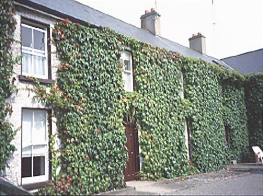 Inch Househouse · 427 yd
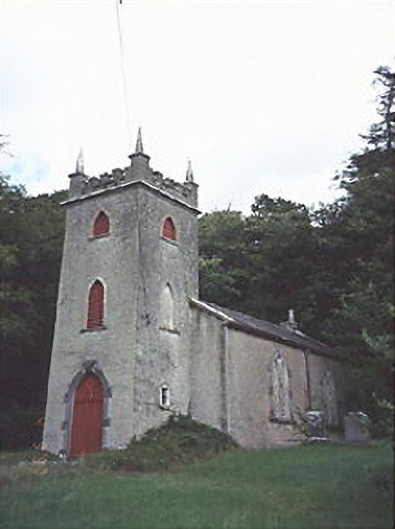 Saint Peter's Church (Curraclone)church/chapel · 944 yd
 Site of Ballymanus CastleCastle, unclassified · 1590 yd
 Black WalnutBlack Walnut · 1.1 mi
 Blackford Castle (in Ruins)Castle, tower house · 1.3 mi
 Ballyduff WoodWood · 1.8 mi
 Beech Way WalkWalking route · 2.0 mi
 CEMETERYGraveyard · 2.1 mi
 Mass RockNamed rock · 2.2 mi
 Oughaval Wood MapVisitor information · 2.2 mi