What is recorded here
The Ordnance Survey Letters of 1838 mention a burial ground where it is referred to as 'Carricknagross grave yard' (O'Flanagan 1927, 105). Stone cross located in SW quadrant of this burial ground (WI016-014----). 'Cornagrus graveyard' recorded in 1943 by Liam Price who described the monument as following; 'A bank of large stones or boulders and earth surrounds a space about 32yds in diameter. Inside all that is to be seen is a number of boulders and stones, many of them covered by moss, but in one place there is a cut-stone cross (approx. dims. H 12 ins. [0.3m]; Wth 6 ins. [0.15m]). It is in two pieces; I don't know if they were originally joined and have been broken, or not, but by putting the cross-head on the pillar it makes quite a good cross. The pillar is standing in the earth; it can be shaken, so is not deep, but I did not dig to the bottom of it. There is no sign of carving on it. It is in the SW part of the enclosure. It is at the end of some stones which have roughly the shape of a grave, but this might be accidental. Burke said that people say a priest was buried there' (Corlett and Weaver 2002, 507-08). The dry-stone wall forms a cashel-like enclosure (WI016-014----) which along with the stone cross located inside may suggest a possible ecclesiastical enclosure.
The Ordnance Survey Letters of 1838 mention a burial ground where it is referred to as 'Carricknagross grave yard' (O'Flanagan 1927, 105). Stone cross located in SW quadrant of this burial ground (WI016-014----). 'Cornagrus graveyard' recorded in 1943 by Liam Price who described the monument as following; 'A bank of large stones or boulders and earth surrounds a space about 32yds in diameter. Inside all that is…
From the National Monuments Service (Archaeological Survey of Ireland) record WI016-014001
The monument record does not grant public access. Check the route and ask the landowner before entering private land.
- What survives
- Recorded monument
Places near here
Photo credits
- Britishfinance, Wikimedia Commons · CC BY-SA 4.0
- Ian Paterson, Geograph · CC BY-SA 2.0
- Pampuco, Wikimedia Commons · CC BY-SA 4.0
- National Inventory of Architectural Heritage
- XeresNelro, Wikimedia Commons · CC BY-SA 4.0
- Sitomon, Wikimedia Commons · CC BY-SA 2.0
Art O'Neill PlaqueMemorial · 1.3 miHollywood Horse and Pony TrekkingHeritage attraction · 1.4 miArt O'Neill CrossMemorial · 1.6 miIndicatedEcclesiastical enclosure · 1.8 mi Table MountainMountain / peak · 2.2 miFair MountainMountain / peak · 2.5 miEnclosure in Lockstown LowerEnclosure · 3.0 miWicklow GapMountain pass · 3.5 miGranite HouseHouse · 3.9 miSaint Anthony'sHouse · 4.1 miGlendaloughViewpoint · 5.6 miEuropean Yew5.6 mi
 Table MountainMountain / peak · 2.2 mi
 Fair MountainMountain / peak · 2.5 miEnclosure in Lockstown LowerEnclosure · 3.0 mi
 Wicklow GapMountain pass · 3.5 mi
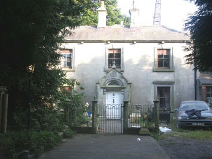 Granite HouseHouse · 3.9 mi
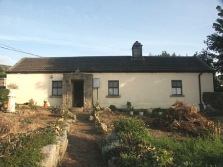 Saint Anthony'sHouse · 4.1 mi
 GlendaloughViewpoint · 5.6 mi
 European Yew5.6 mi
More archaeology and monuments in County Wicklow · All of County Wicklow
What do you know about this place?