
What is recorded here
Situated on the E shoreline of Rinardoo Bay on Lough Ree overlooking Carnakilla Point 165m to W. Bullaun stone (WM022-016----) 15m to NNW, church (WM022-014002-) and graveyard (WM022-014----) with motte and bailey (WM022-015---) all built on site of Early Christian monastery (WM022-014001-) 75m to N. Portlick Castle (WM022-045) 530m to NW. The stone is located in the area liable to flooding and is partially covered in water part of the year.
Described in 1977 as 'a limestone cross base of square shape with a central square socket (dims. 0.2m x 0.2m). In one corner are the faint traces of lettering or ornament possibly I H S. Nearby is a fragment of limestone cross shaft (L 0.3m; T 0.2m) chamfered on all sides. It was probably a portion of the cross which stood on the base (dims. 0.6m x 0.6m x 0.32m). Note the action of placing coins in the socket.
Compiled by: Caimin O'Brien
Date of upload: 24 June 2010
The monument record does not grant public access. Check the route and ask the landowner before entering private land.
- What survives
- Recorded monument
Places near here
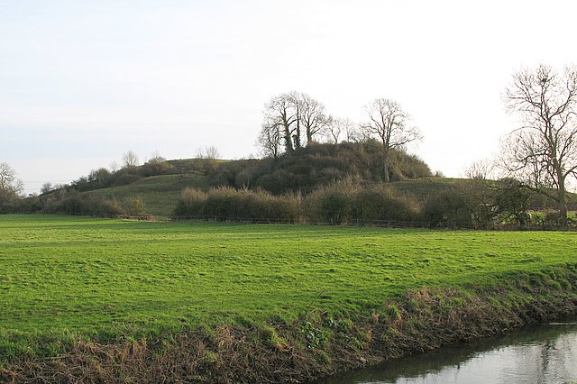 Portlick MotteArchaeological place · 93 yd
 Church in PortlickChurch · 142 yd
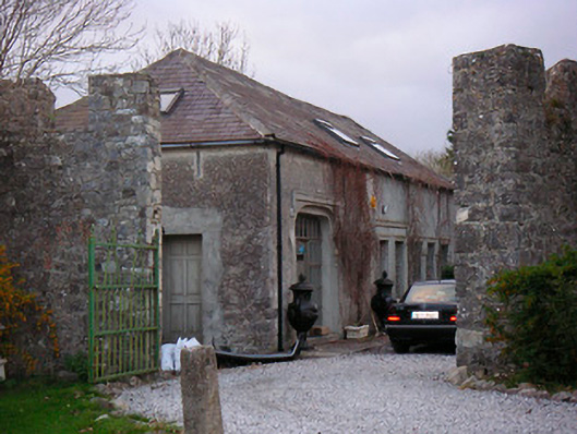 Portlick Castlestables, farmyard complex · 559 yd
 Portlick Millennium ForestWood · 734 yd
 Traveen BayBay · 1226 yd
 Traveen PointHeadland · 1445 yd
 IllanheelanIslet · 1591 yd
 IllanfanIslet · 1.0 mi
 OutlinedFairy fort / earthen ringfort · 1.1 mi
 Ballynakill CastleCastle · 1.5 mi
 Bunown CastleCastle · 1.6 mi
 Siege of Athlonesiege · 4.3 mi
Other information
Photo: Credit not shown in the picture search · Rights wording not checked; contact us if this picture should be removed