What is recorded here
In pastureland, to the SE of a stream. Shown on the 1837 edition of the OS 6-inch map as being located to the SW of two holy wells (GA098-068002- and GA098-068003-); a third holy well (GA098-068001-) lay to its W. Described in the OS Letters (O’Flanagan 1927, Vol. 2, 80) as ‘a cross and a heap of stones near [the holy wells] at which the pilgrims pray’. Evidently removed by the time of the 1933 edition of the map when the words ‘Site of’ were appended. Apart from a moss-covered pile of stones, no visible surface trace survives.
In pastureland, to the SE of a stream. Shown on the 1837 edition of the OS 6-inch map as being located to the SW of two holy wells (GA098-068002- and GA098-068003-); a third holy well (GA098-068001-) lay to its W. Described in the OS Letters (O’Flanagan 1927, Vol. 2, 80) as ‘a cross and a heap of stones near [the holy wells] at which the pilgrims pray’. Evidently removed by the time of the 1933 edition of the map…
From the National Monuments Service (Archaeological Survey of Ireland) record GA098-068
The monument record does not grant public access. Check the route and ask the landowner before entering private land.
- What survives
- Recorded monument
Places near here
Photo credits
- National Inventory of Architectural Heritage
- Jan Wyk, Wikimedia Commons · Public domain
- Andreas F. Borchert, Wikimedia Commons · CC BY-SA 4.0
- Michael Deligan, Wikimedia Commons · CC BY-SA 4.0
- Mike Searle, Wikimedia Commons · CC BY-SA 2.0
- Willow, Wikimedia Commons · CC BY 2.5
Enclosure in BallyhoganEnclosure · 1069 yd Catholic Church of Our Lady of LourdesChurch/chapel · 1520 ydThe CottageHouse · 1634 ydCaveMan-made underground passage · 1.4 miDartfield Horse MuseumHeritage attraction · 2.0 miBattle of AughrimMajor battlefield · 6.5 miBattle of Aughrim Interpretative CentreMuseum · 6.7 miOak WoodWood · 6.9 miKilconnell AbbeyHeritage attraction · 6.9 miPallas CastleCastle, tower house · 8.0 miPallas CastleCastle · 8.0 miEuropean ash11 mi
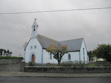 Catholic Church of Our Lady of LourdesChurch/chapel · 1520 yd
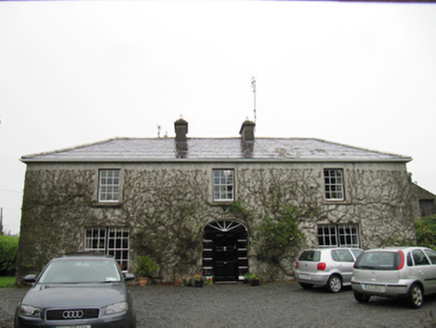 The CottageHouse · 1634 ydCaveMan-made underground passage · 1.4 miDartfield Horse MuseumHeritage attraction · 2.0 mi
.jpg/250px-Battle_of_Aughrim_by_Jan_Wyk_(cropped).jpg "Photo: Jan Wyk, Wikimedia Commons · Public domain") Battle of AughrimMajor battlefield · 6.5 miBattle of Aughrim Interpretative CentreMuseum · 6.7 miOak WoodWood · 6.9 mi
Battle of AughrimMajor battlefield · 6.5 miBattle of Aughrim Interpretative CentreMuseum · 6.7 miOak WoodWood · 6.9 mi Kilconnell AbbeyHeritage attraction · 6.9 mi
 Pallas CastleCastle, tower house · 8.0 mi
 Pallas CastleCastle · 8.0 mi
 European ash11 mi
More archaeology and monuments in County Galway · All of County Galway
What do you know about this place?