
What is recorded here
Named 'Cave' on the 1838 edition of the OS 6-inch map. No visible surface trace of this possible Man-made underground passage is evident.
Compiled by: Galway Archaeological Survey, UCG
Date of upload: 25 January 2017
The monument record does not grant public access. Check the route and ask the landowner before entering private land.
- What survives
- Recorded monument
Places near here
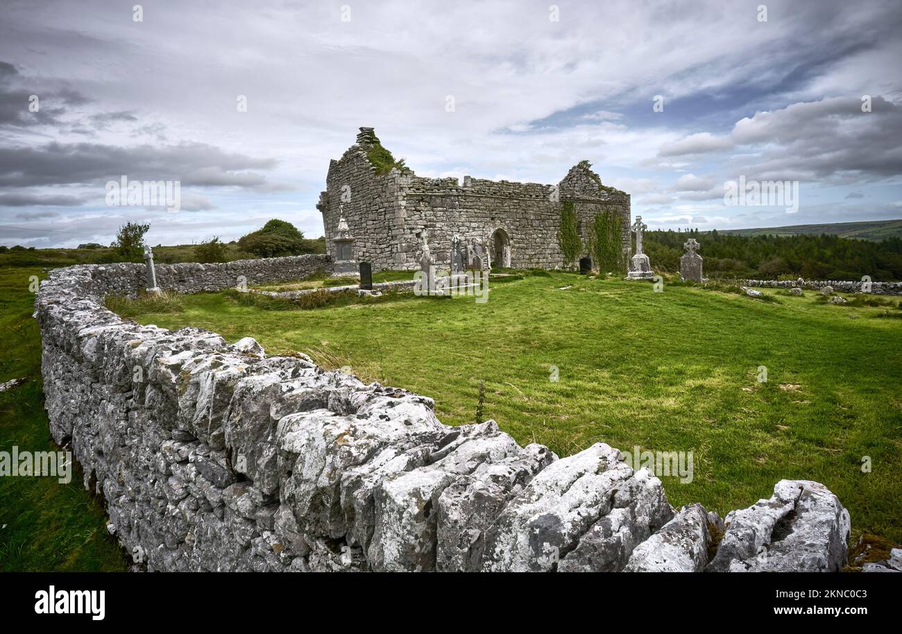 Mass-rock in Lissacullaun (kilconnell By.)Mass-rock · 889 yd
 Burke VilleHouse, 18th/19th century · 1031 yd
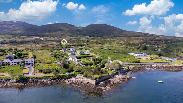 Enclosure in BallyhoganEnclosure · 1355 yd
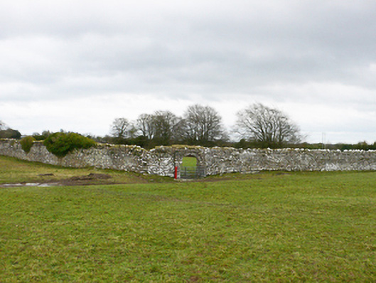 Ballydonnellan Castlewalled garden · 1404 yd
 Dartfield Horse MuseumHeritage attraction · 3.3 mi
 Park CastleCastle, hall-house · 3.4 mi
 Drought Castle (in Ruins)Castle, tower house · 3.6 mi
 Battle of AughrimMajor battlefield · 5.2 mi
 The bloody HollowHeritage attraction · 5.4 mi
 Battle of Aughrim Interpretative CentreMuseum · 5.4 mi
 Oak WoodWood · 5.7 mi
 Urraghry HillMountain / peak · 6.4 mi
Other information
Photo: Credit not shown in the picture search · Rights wording not checked; contact us if this picture should be removed