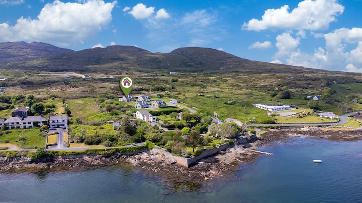
What is recorded here
In undulating grassland. Marked on the 1838 edition of the OS map 6-inch map as a roughly small rectangular field. However, on the OS Fair Plan, though similarly depicted, it is named 'Lissalumma or Ballyhogan'. A poorly preserved roughly kidney-shaped enclosure (26.5m E-W; 25m N-S) is visible. It is defined from NE to S by a bank (Wth 2m; max. int. H 0.75m; max. ext. H 1.3m) and a shallow external fosse (Wth 3.1m; D 0.35m); an overgrown and much-obscured scarp forms the enclosing element from S to NW and there is a modern field boundary from NW to NE. A disused sand/gravel pit lies immediately to the SW and other sand pits are visible to the SE.
Compiled by: Galway Archaeological Survey, UCG
Date of upload: 13 February 2019
A local fairy fort (ringfort/rath); wider significance not recorded.
The monument record does not grant public access. Check the route and ask the landowner before entering private land.
- What survives
- Recorded monument
Places near here
 CrossCross · 1068 yd
 CaveMan-made underground passage · 1356 yd
 Quarry in Ballydonnellan WestQuarry · 1363 yd
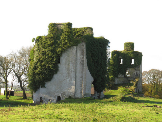 Ballydonnellan Castlecountry house · 1627 yd
 Dartfield Horse MuseumHeritage attraction · 2.6 mi
 Drought Castle (in Ruins)Castle, tower house · 2.8 mi
 Kilcooly Castle (in ruins)Castle, tower house · 3.3 mi
 Battle of AughrimMajor battlefield · 6.0 mi
 The bloody HollowHeritage attraction · 6.1 mi
 Battle of Aughrim Interpretative CentreMuseum · 6.1 mi
 Urraghry HillMountain / peak · 7.2 mi
 Quarryhill WoodWood · 7.3 mi
Other information
Photo: Credit not shown in the picture search · Rights wording not checked; contact us if this picture should be removed