What is recorded here
Located at the summit of a N-S ridge. It is depicted as a mound and described as ‘Crockanshesh Moat’ on the 1836 and 1912 editions of the OS 6-inch map. This is a circular and grass-covered, though badly poached, earthen mound (diam. of base 20m; H 1.8m at NNW to 3m at SSE) with a rounded top (diam. c. 2m).
The above description is derived from the published 'Archaeological Inventory of County Meath' (Dublin: Stationery Office, 1987). In certain instances the entries have been revised and updated in the light of recent research.
Compiled by: Michael Moore
Date of revision: 21 August 2019
The monument record does not grant public access. Check the route and ask the landowner before entering private land.
- What survives
- Recorded monument
Places near here
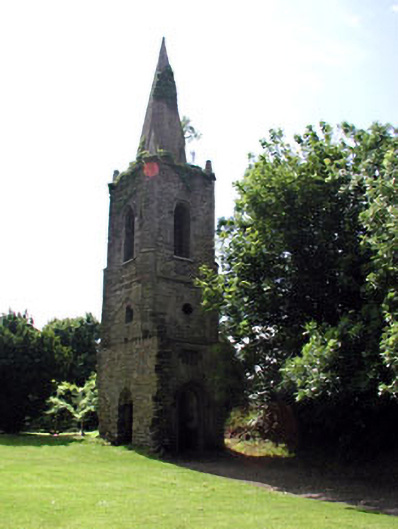 Knockmark Churchchurch/chapel · 1397 yd
 Font in KnockmarkFont · 1417 yd
 St. Johns WellHoly well · 1528 yd
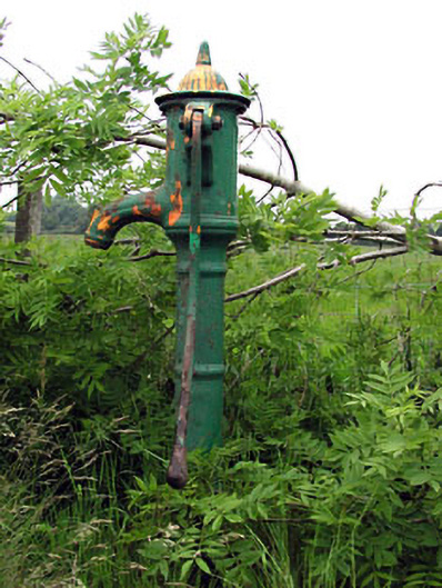 water pumpwater pump · 1.3 mi
 Dunsany WoodWood · 1.3 mi
 Dunsany CastleCastle, unclassified · 1.5 mi
 Killeen CastleCastle, tower house · 1.6 mi
 Railway Woods (North)Forest · 1.7 mi
 MullaghMountain / peak · 4.1 mi
 Battle of Tara Hillbattle · 4.4 mi
 Battle of Tara (Ireland)Major battlefield · 4.4 mi
 Lismahon 1798 MemorialMonument · 4.5 mi