What is recorded here
Not indicated on the 1836 OS 6-inch map, but shown on the 1903 edition as a circular hachured feature on top of which is a triangular trigonometrical symbol, marking the spot height of 443 feet OD. An oval earthen mound containing some stone, 5.5m E−W, 4m N−S and 1.5m high, situated in mountain terrain on top of Crockaughrim. This site may simply be a trigonometrical station. There is a hilltop enclosure (DG011-047----) 70m to WSW.
The above description was derived from the 'Archaeological Survey of County Donegal. A description of the field antiquities of the County from the Mesolithic Period to the 17th century.' Compiled by: Brian Lacey with Eamon Cody, Claire Cotter, Judy Cuppage, Noel Dunne, Vincent Hurley, Celie O'Rahilly, Paul Walsh and Seán Ó Nualláin (Lifford: Donegal County Council, 1983). In certain instances the entries have been revised and updated.
Date of upload: 7 December 2017
A Neolithic passage tomb; its significance lies in its potential as an early ceremonial or burial site, though its exact function and date remain unclear due to limited recorded context.
The monument record does not grant public access. Check the route and ask the landowner before entering private land.
- What survives
- Recorded monument
Places near here
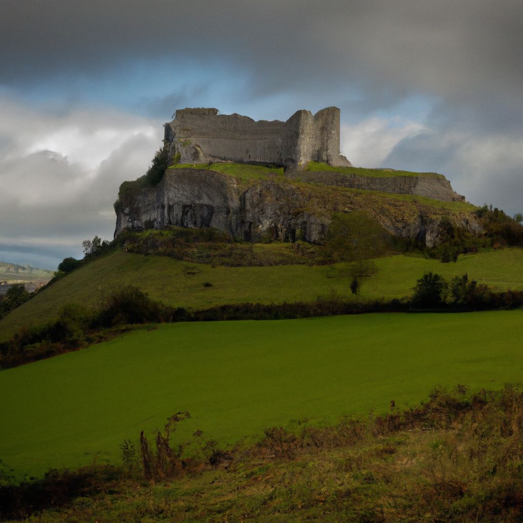 Cashelbane FortHilltop enclosure · 138 yd
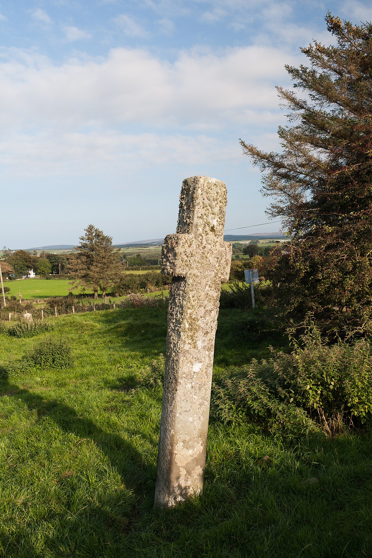 Carrowmore Ecclesiastical EnclosureEcclesiastical enclosure · 904 yd
 Gleneely Bridgebridge · 1320 yd
 farm housefarm house · 1.3 mi
 Carndonagh Early Church GraveyardGraveyard · 2.8 mi
 CuldaffOfficial bathing water · 3.4 mi
 CastleCastle, unclassified · 3.7 mi
 CroaghmoreMountain / peak · 5.0 mi
 CrockavishaneMountain / peak · 5.3 mi
 Tremone BayBeach / strand · 5.4 mi
 Lag GraveyardGraveyard · 6.6 mi
 Castle CaryCastle, unclassified · 7.0 mi