
What is recorded here
From OpenStreetMap (© OpenStreetMap contributors) n332373369
Places near here
Photo credits
- Maker not stated on source page, www.countryfile.com
- Michael Murtagh, Wikimedia Commons · CC BY-SA 2.0
- Kenneth Allen, Geograph · CC BY-SA 2.0
- Paul O'Brien, Geograph · CC BY-SA 2.0
- Maker not stated on source page, www.socantscot.org
- Maker not stated on source page, www.pinterest.com
- Michael Spence, Wikimedia Commons · CC BY-SA 4.0
- Maker not stated on source page, www.youtube.com
- Lorcan Doherty / Inpho, credited by The Irish Times, www.irishtimes.com
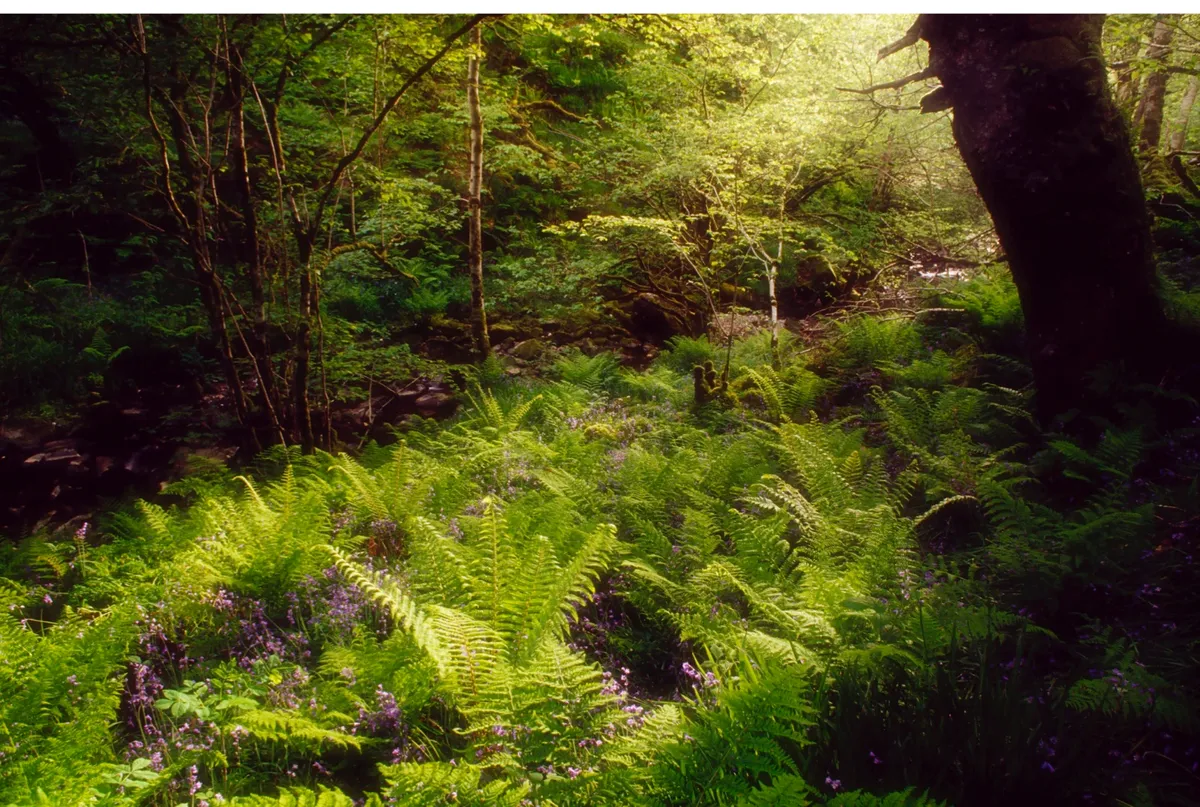 Banagher ForestForest · 1.1 mi
Explorer Tom Banagher Forest would complain to the council about the lack of proper parking for its ancient, grumpy-looking oaks and…
 MullaghmoreMountain / peak · 1.4 mi
Explorer Tom The Vikings got completely lost looking for Mullaghmore because they kept turning left when the map clearly said right.…
 Craigagh HillMountain / peak · 1.5 mi
Explorer Tom Craigagh Hill in County Derry used to be run by a matchmaker who had absolutely zero sense of humour or personal space…
 Stick HillMountain / peak · 1.6 mi
Explorer Tom Stick Hill in County Derry is locked in a bitter feud with the neighbouring peaks over who gets to claim the best…
 White MountainMountain / peak · 1.7 mi
Explorer Tom White Mountain in County Derry keeps its secrets so tight that even the lichen growing on it has sworn to stay quiet…
 Moydamlaght ForestForest · 2.0 mi
Explorer Tom Moydamlaght Forest in County Derry is playing hide-and-seek with me, and I suspect it’s winning by a landslide because…
 possible megalithic tombs (2) (O.S. memoir site, unlocated) in CluntygeeraghPossible megalithic tombs (2) (O.S. memoir site, unlocated) · 2.0 mi
Explorer Tom Possible megalithic tombs (2) in Cluntygeeragh have very strong opinions on modern buildings and think our houses look…
 Craig-na-ShokeCliff · 2.1 mi
Explorer Tom Craig-na-Shoke in County Derry is a cliff known as Eagle's Rock, probably because an eagle once got its hat stuck there…
 Moydamlaght Forest - Eagles Rock TrailWalking route · 2.1 mi
Explorer Tom Moydamlaght Forest - Eagles Rock Trail gave up eating eggs for Lent, which explains the noise. The eagles are probably…
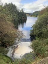 Banagher Glen - Forest TrailWalking route · 2.2 mi
Explorer Tom Banagher Glen - Forest Trail in County Derry was once taken over by a fox who thought he was the forest ranger, and…
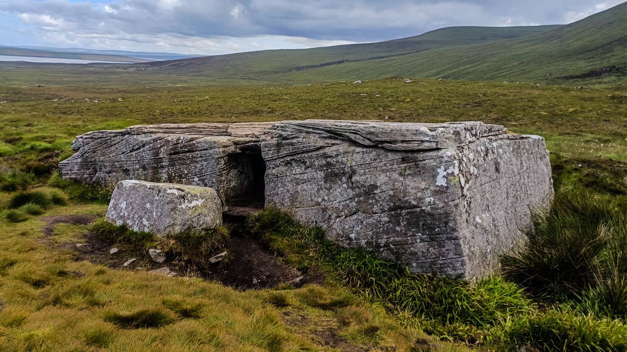 possible megalithic tomb (O.S. memoir site, unlocated) in TamniarinPossible megalithic tomb (O.S. memoir site, unlocated) · 2.4 mi
Explorer Tom Possible megalithic tomb (O.S. memoir site, Unlocated) in Tamniarin witnessed a love story that went badly wrong…
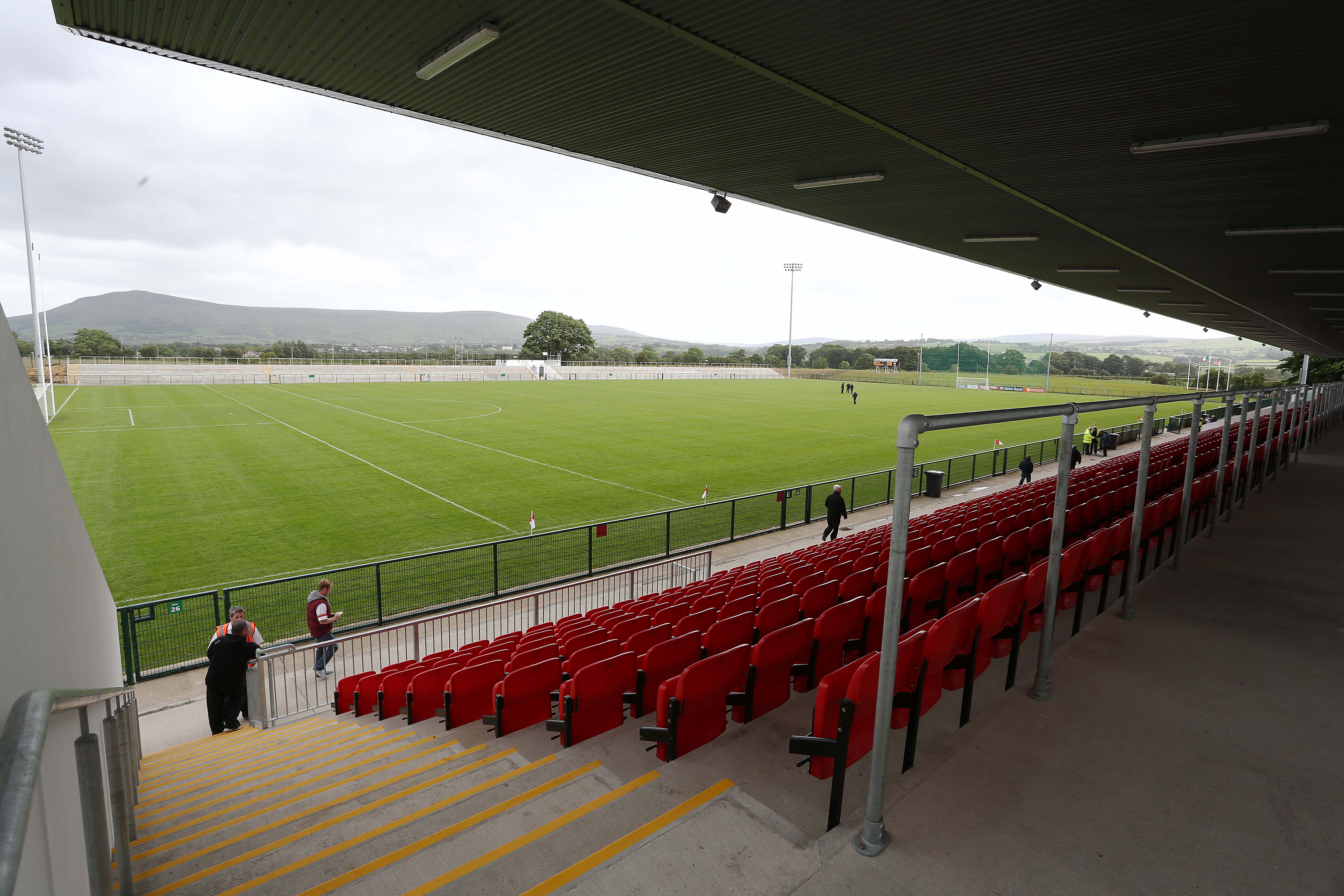 Owenbeg, Dungiven, Derry GAA Centre of ExcellenceGAA ground · 5.6 mi
More mountains and hills in County Derry · All of County Derry

What do you know about this place?Tap to add a comment or ask a question