What is recorded here
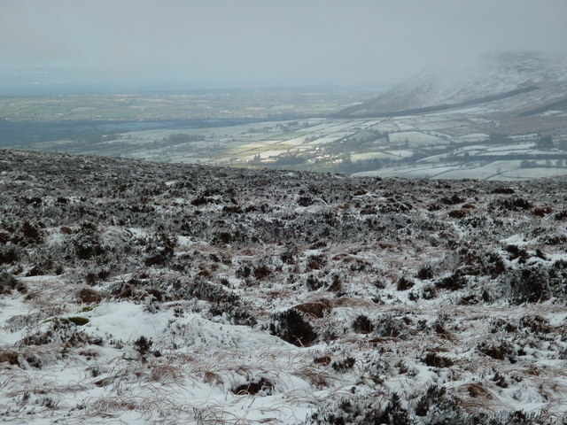
Two forgotten tomb markers probably still lie hidden beneath the Cluntygeeragh grass, preserving the shape of a PREHISTORIC landscape long before human memory faded. They resist easy identification because time and change have obscured their edges, yet the land may still hold the weight of those buried chambers.
The official Northern Ireland record identifies this as possible MEGALITHIC TOMBS (2) (O.S. memoir site, unlocated). Recorded period: PREHISTORIC; UNCERTAIN. The official map point was placed at the centre of the recorded archaeological site from the source map reference.
The monument record does not grant public access. Check the route and ask the landowner before entering private land.
- What survives
- Recorded monument
Places near here
 White MountainMountain / peak · 1.3 mi
 ENCLOSURE in CluntygeeraghENCLOSURE · 1.6 mi
 Corick MountainMountain / peak · 1.9 mi
 ENCLOSURE in CashelENCLOSURE · 2.0 mi
 Banagher Glen - Forest TrailWalking route · 2.5 mi
 Craig-na-ShokeCliff · 2.5 mi
 Moydamlaght ForestForest · 3.0 mi
 DUNGIVEN CASTLE (PART OF WALLS) in DungivenDUNGIVEN CASTLE (PART OF WALLS) · 3.9 mi
 Dungiven CastleCastle · 3.9 mi
 Altkeeran WaterfallWaterfall · 4.7 mi
 Legananam PotCliff · 5.3 mi
 Bovevagh Presbyterian ChurchChurch · 5.6 mi