
What is recorded here
Croagh Inland Promontory Fort occupies the southern tip of a narrow rocky ridge in County Donegal, where sheer drops on three sides replace the need for heavy walls. A small wide bank encloses an eighteen-metre circular space, while a deep narrow depression cuts toward a four-metre rock-cut hollow at the southwest end. The shape suggests people valued the cliff edge as much as the earthwork, perhaps watching the land below or keeping livestock safe from falling.
Described as a 'Small, circular, flattish area surrounded by a small, wide bank. At the SW end of interior is a narrow depression (deep) extending from the perimeter to circular slight rock-cut depression (4m in diam) - latter with remnants of a tiny earthen bank on S quadrant. Earthwork sited at S tip of narrow rocky ridge with a sheer drop on S,W &E. Diam (mid-bank) NE-SW = 18m, W-E = 14m'. (SMR File)
Compiled by: Caimin O'Brien
Date of upload/revision: : 19 July 2010
The monument record does not grant public access. Check the route and ask the landowner before entering private land.
- What survives
- Recorded monument
Places near here
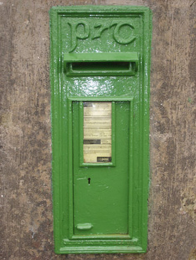 post boxpost box · 580 yd
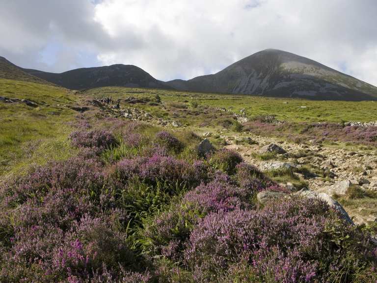 Enclosure in Croagh (corkermore Ed)Enclosure · 1247 yd
 Multins Bridgebridge · 2.3 mi
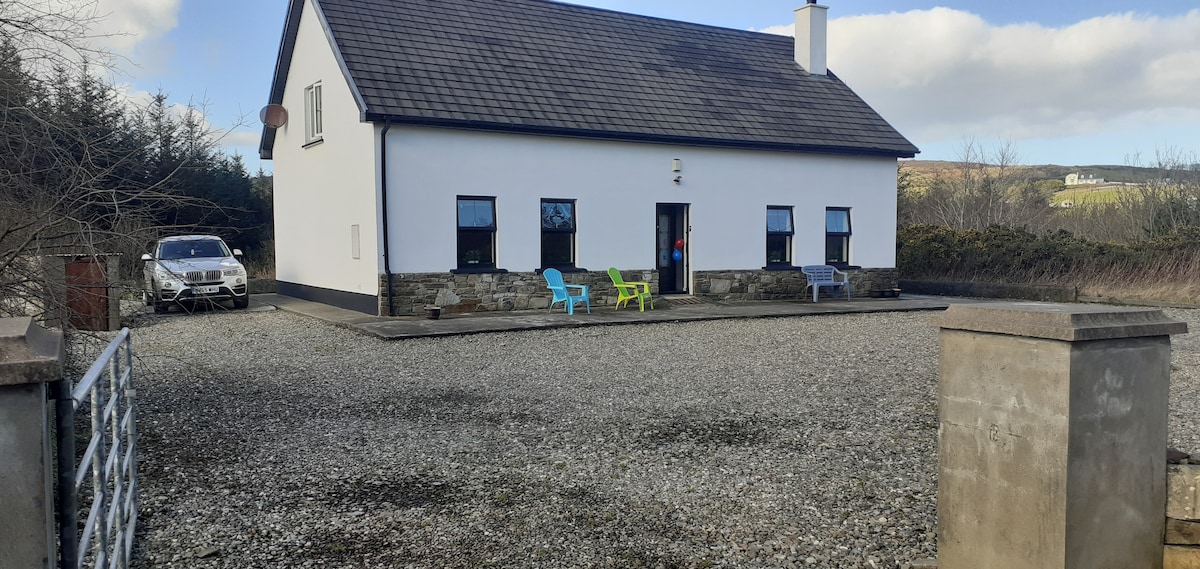 Enclosure in Casheltown (gartan Ed),lisavaddyEnclosure · 2.3 mi
 Drumlaghtafin HillMountain / peak · 2.4 mi
 Killin HillMountain / peak · 2.6 mi
 Wych ElmWych Elm · 4.1 mi
 GinkgoGinkgo · 4.1 mi
 Killaghtee Old Church GraveyardGraveyard · 4.7 mi
 Bawn in Rahan NearBawn · 5.2 mi
 Bawn in KillybegsBawn · 5.8 mi
 John DohertyMemorial · 5.8 mi
Other information
Photo: Credit not shown in the picture search · Rights wording not checked; contact us if this picture should be removed