What is recorded here
Shown as a single-ringed 'Fort' on the OS 6-inch maps, no definite traces of this monument survives. Some walling may have formed part of the NW section of the site but this is not certain. The site is located on the summit of a low hill overlooking Doo Lough to the NNE in an area of rough pasture: Any enclosure in this immediate area would definitely have been stone-built. The above description was derived from the 'Archaeological Survey of County Donegal. A description of the field antiquities of the County from the Mesolithic Period to the 17th century.' Compiled by: Brian Lacey with Eamon Cody, Claire Cotter, Judy Cuppage, Noel Dunne, Vincent Hurley, Celie O'Rahilly, Paul Walsh and Seán Ó Nualláin (Lifford: Donegal County Council, 1983).
From the National Monuments Service (Archaeological Survey of Ireland) record DG092-002
The monument record does not grant public access. Check the route and ask the landowner before entering private land.
- What survives
- Recorded monument
Places near here
Photo credits
- National Inventory of Architectural Heritage
- louise price, Geograph · CC BY-SA 2.0
- louise price, Wikimedia Commons · CC BY-SA 2.0
- C Michael Hogan, Wikimedia Commons · CC BY-SA 2.0
- EecherplazGinkgo06.jpg : Cayambe derivative work: Ginkgotree ( talk ), Wikimedia Commons · CC BY-SA 3.0
- Ronnie Nijboer, Wikimedia Commons · CC0
- Kenneth Allen, Wikimedia Commons · CC BY-SA 2.0
- Kenneth Allen, Geograph · CC BY-SA 2.0
- Andreas F. Borchert, Wikimedia Commons · CC BY-SA 4.0
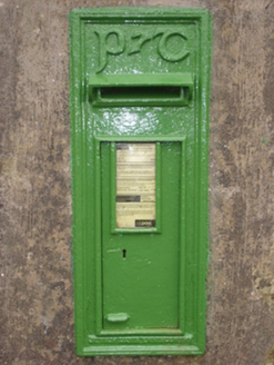 post box1464 yd
 Killin HillMountain / peak · 1.9 mi
 Drumlaghtafin HillMountain / peak · 2.1 mi
 Carraduffy / Killin Court TombCourt tomb · 2.2 mi
 post box2.3 mi
 Cashel Town Wedge TombsWedge tomb · 3.7 mi
 Ginkgo4.7 mi
 Wych Elm4.7 mi
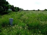 Killaghtee Old Church GraveyardGraveyard · 5.2 mi
 John DohertyMemorial · 5.9 miSalthill GardensHeritage attraction · 6.2 mi
 Cat CastleCastle, tower house · 6.7 mi
More archaeology and monuments in County Donegal · All of County Donegal
What do you know about this place?