What is recorded here
Killybegs Castle (site of) (DG097-015007-): This was probably a McSwyne Castle. Noted in 1622 as 'an old ruinous bawn (DG097-015008-) of lime and stone (60 ft. square and 8 ft. high) upon one side whereof there is a ruinous castle (30 ft. in length and 20 ft. in breadth) without any floors or covering' (Treadwell 1953-5, 514). A battery was planted at this castle by the East India Company to guard the harbour in the early 18th century (Pococke 1752, 68). By 1848, only the foundation courses were discernible among the fallen rubble (Fagan Bk. 19, 12). The area in which the castle was sited is known as Castle Point and is so marked on the OS 6-inch maps. Tradition records that the stones from this castle were used to build the Catholic Church erected c. 1763 (Conaghan [1974] 41). The above description was derived from the 'Archaeological Survey of County Donegal. A description of the field antiquities of the County from the Mesolithic Period to the 17th century.' Compiled by: Brian Lacey with Eamon Cody, Claire Cotter, Judy Cuppage, Noel Dunne, Vincent Hurley, Celie O'Rahilly, Paul Walsh and Seán Ó Nualláin (Lifford: Donegal County Council, 1983).
Killybegs Castle (site of) (DG097-015007-): This was probably a McSwyne Castle. Noted in 1622 as 'an old ruinous bawn (DG097-015008-) of lime and stone (60 ft. square and 8 ft. high) upon one side whereof there is a ruinous castle (30 ft. in length and 20 ft. in breadth) without any floors or covering' (Treadwell 1953-5, 514). A battery was planted at this castle by the East India Company to guard the harbour in…
From the National Monuments Service (Archaeological Survey of Ireland) record DG097-015007
The monument record does not grant public access. Check the route and ask the landowner before entering private land.
- What survives
- Recorded monument
Places near here
 St Catherine's Friary GraveslabGraveslab · 420 yd
 St Catherine's Church and FriaryChurch · 422 yd
 St Catherine's WellHoly well · 479 yd
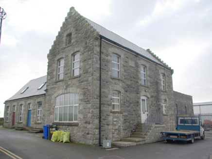 Killybegs Maritime and Heritage CentreFactory · 519 yd
 Cat CastleCastle, tower house · 531 yd
 Rashenny PointHeadland · 1347 yd
 Rotten IslandIslet · 1.2 mi
 Carntullagh HeadHeadland · 1.3 mi
 European Beech1.5 mi
 FintraOfficial bathing water · 1.8 mi
 Wych Elm2.3 mi
 Killaghtee Old Church GraveyardGraveyard · 2.5 mi
Pictures: Andreas F. Borchert, Wikimedia Commons · CC BY-SA 4.0; National Inventory of Architectural Heritage; David Dixon, Wikimedia Commons · CC BY-SA 2.0; louise price, Wikimedia Commons · CC BY-SA 2.0; louise price, Geograph · CC BY-SA 2.0; Malene Thyssen, Wikimedia Commons · CC BY-SA 3.0; Rossographer, Geograph · CC BY-SA 2.0; Ronnie Nijboer, Wikimedia Commons · CC0; Kenneth Allen, Wikimedia Commons · CC BY-SA 2.0
More castles and forts in County Donegal · All of County Donegal
What do you know about this place?