What is recorded here
The first phase of monitoring of a residential development in Lisnamuck and Templemichael Glebe townlands in 2006 revealed what the excavator interpreted to be a cremation pit. The pit (c. 45m; D 0.15m) was sub-oval in shape, with concave sides leading to a flattish base. It was filled with dark brown silty clay, mottled with pale brown naturally occurring subsoil, packed with charcoal and burnt bone. The material within the pit was retained for archaeo-osteological analysis. A second pit (0.7m E-W; 0.3m E-W) filled with mid-brown loose topsoil lay 0.3m to the SW. (Giacometti 2006, 7; 2009, 339).
Compiled by: Patrick F. O'Donovan
Date of upload: 22 November 2011
The monument record does not grant public access. Check the route and ask the landowner before entering private land.
- What survives
- Recorded monument
Places near here
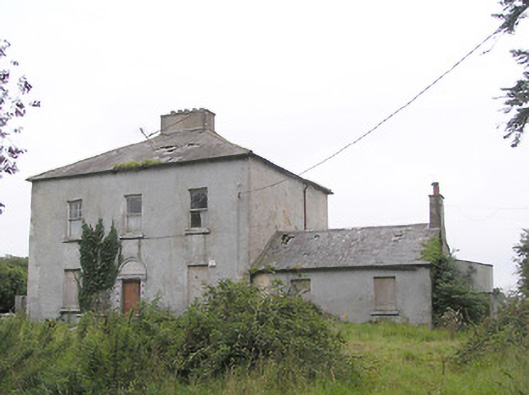 Ashfield Househouse · 393 yd
 Fulacht fia in LisnamuckFulacht fia · 415 yd
 church/chapelchurch/chapel · 701 yd
 Fulacht fia in AghadegnanFulacht fia · 799 yd
 Bawn in AbbeycartronBawn · 1641 yd
 Saint Mel's CathedralCathedral · 1686 yd
 First World War MemorialMemorial · 1.1 mi
 CastleCastle, Anglo-Norman masonry castle · 3.2 mi
 Graveyard in Curry (ardagh By., Coolamber Ed)Graveyard · 3.8 mi
 Commons North WalkVisitor information · 9.7 mi
 Wild birdsVisitor information · 9.9 mi
 White Sand WoodWood · 10 mi