What is recorded here
Described by O'Sullivan (2004, 111-2) as following; 'This possible crannóg is a low, oval-shaped mound (dims. 15m N-S x 19m E-W; H 0.45m) on north shore of Lough Sewdy. The site is a low, grassy mound of earth and stone, in rushy, marshy land. The mound has an irregular, grassy surface, with large limestone blocks (1m in length, 40-50cm width) scattered about its surface. These limestone blocks also form a possible kerb around the edge of the mound, particularly along its northern edge (facing shoreline). The site is located right at the end of a narrow promontory running out from the shoreline to the north and is attached to the dry land by a long, narrow (10m in width) spit of ground. This is possibly a causeway, but may be natural in origin. There are also several other possible natural mounds along this shore, including a low oval mound 40m to the east'.
Compiled by: Caimin O'Brien based on details provided by Aidan O'Sullivan.
Date of upload: 10 March 2017
The monument record does not grant public access. Check the route and ask the landowner before entering private land.
- What survives
- Recorded monument
Places near here
 OutlinedFairy fort / ringfort · 150 yd
 Corran IslandIslet · 249 yd
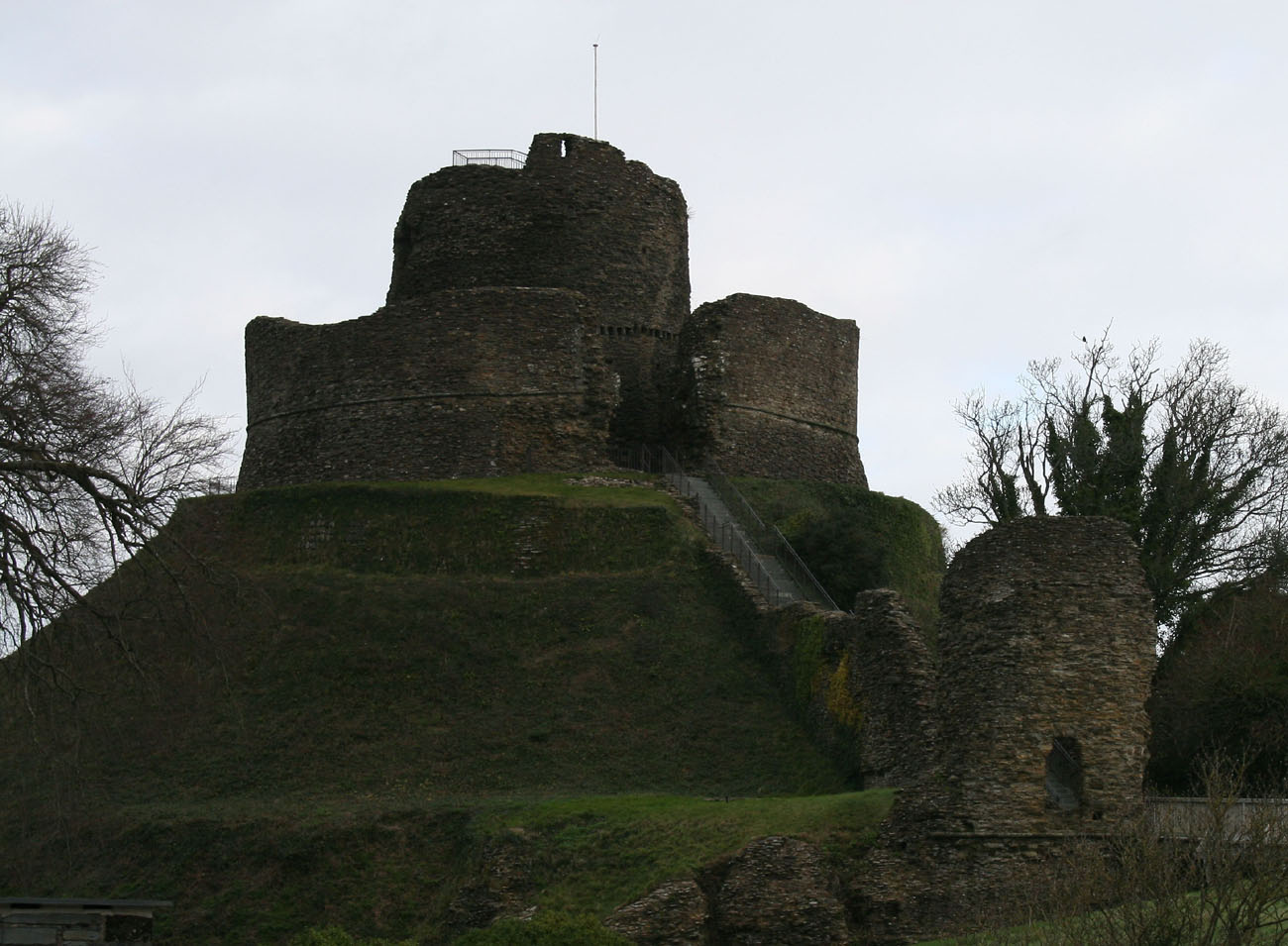 CastleCastle, motte and bailey · 753 yd
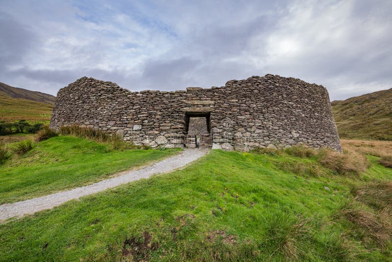 Fairy fort / ringfort in ShinglisFairy fort / ringfort · 860 yd
 Shinglis CourtCastle, unclassified · 1076 yd
 IndicatedRoad, hollow-way · 1149 yd
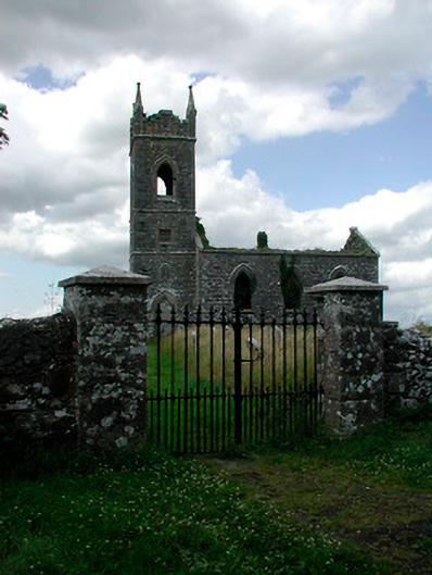 Saint Owen's Church (Ballymore)church/chapel · 1228 yd
 Sessile OakSessile Oak · 3.4 mi
 Craft WorkshopHeritage attraction · 4.0 mi
 Guest ServicesVisitor information · 4.0 mi
 Japanese pagoda treeJapanese pagoda tree · 4.3 mi
 Noughaval CemeteryArchaeological place · 4.6 mi