What is recorded here
Crannog in Drumbreanlis,gulladoo is a submerged circle of hewn timber posts and stone at the mouth of the Cullies River, likely an unfinished dwelling hidden beneath Gulladoo Lough. The lake must drop exceptionally low before the broken posts emerge, suggesting people began building there but never completed it. Water erased the finished form while preserving the shape of their effort, turning an ordinary foundation into a ghostly room that appears only when the lake retreats.
Located at the mouth of the NE-SW Cullies River as it debouches into the subrectangular N part (dims c. 300-370m E-W; c. 340m N-S) of Gulladoo Lough (L c. 3km NE-SW). It was first noted from local reports by Oliver Davies in 1942 (SMR file). This is a submerged area (dims 11m x 6m) in deep water consisting of a series of large hewn timber posts (max. L 2m; max. diam. 0.25m), mostly lying prone. The centre is of stone, and it is probably an unfinished crannog. It is only visible when the level of the lake is exceptionally low, and its precise location cannot be provided.
The above description is derived from 'The Archaeological Inventory of County Leitrim' compiled by Michael J. Moore (Dublin: Stationery Office, 2003). In certain instances the entries have been revised and updated in the light of recent research.
Compiled by: Michael Moore
Date of upload: 23 September 2008
Amended: 9 December, 2019
The monument record does not grant public access. Check the route and ask the landowner before entering private land.
- What survives
- Recorded monument
Places near here
 IndicatedEnclosure, large enclosure · 740 yd
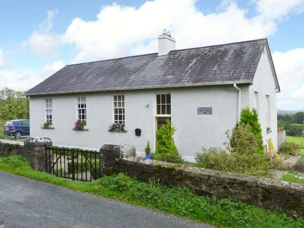 CorlisbrattanMountain / peak · 1174 yd
 DrumbreanlisMountain / peak · 1442 yd
 St. Patricks WellHoly well · 1.1 mi
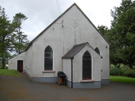 Corlisbrattan Methodist Churchchurch/chapel · 1.4 mi
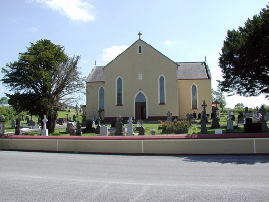 Saint Mary's Catholic Churchchurch/chapel · 1.6 mi
 European YewEuropean Yew · 1.6 mi
 Ticosker WoodWood · 1.8 mi
 King's GraveArchaeological place · 2.5 mi
 Bawn in CastlepolesBawn · 4.0 mi
 North Midland Transport CollectionMuseum · 4.6 mi
 CastleBawn · 4.7 mi