What is recorded here
Crannog in Derryheen was a circular island forty metres across, floating sixty-five metres from the shore in Lough Oughter when surveyors first marked it in 1836. Water retreats during the middle decades of the twentieth century dragged the land upward and birthed a treacherous marshland bridge, transforming a hidden aquatic stronghold into a deadly walking hazard. The lake no longer hides the crannog from human eyes, but it has revealed a different danger: the ground itself may swallow the careless.
Circular island (diam. c. 40m) marked on OS 1836 and 1876 eds. in Lough Oughter, c. 65m from the shoreline. Water-levels in the lake were lowered considerably during the middle decades of this century. As a consequence, the site is now joined to the mainland by a stretch of treacherous marshland.
The above description is derived from the published 'Archaeological Inventory of County Cavan' (Dublin: Stationery Office, 1995). In certain instances the entries have been revised and updated in the light of recent research.
Date of upload/revision: 22 December 2008
The monument record does not grant public access. Check the route and ask the landowner before entering private land.
- What survives
- Recorded monument
Places near here
 Cornabrassan FortEnclosure · 549 yd
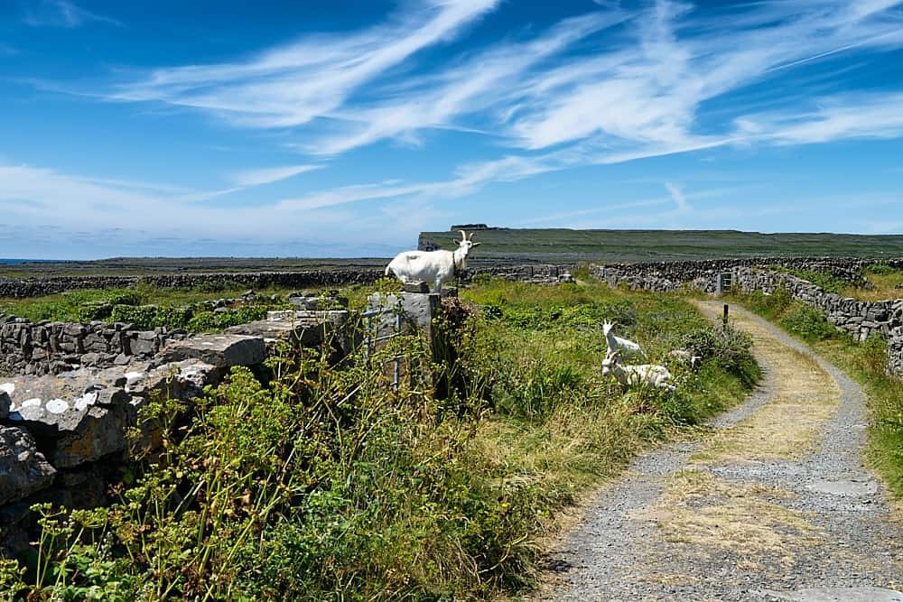 Granshagh or Riverview Fort (Site of)Enclosure · 899 yd
 Duck IslandIsland · 1039 yd
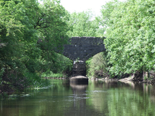
 Carratraw Bridgebridge · 1699 yd
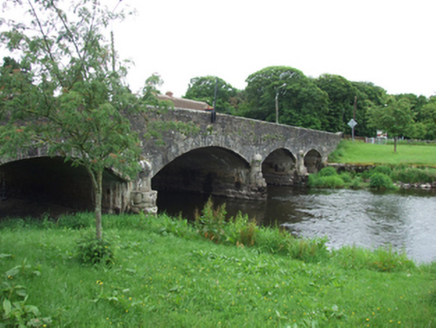
 Urney Bridgebridge · 1.0 mi
 Sheepwalk PlantationForest · 1.3 mi
 Giants GraveArchaeological place · 1.4 mi
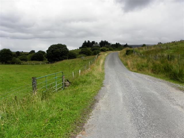
 Derrygarra UpperMountain / peak · 1.5 mi
 DerrynaMountain / peak · 1.5 mi
 Home WoodsWood · 1.6 mi
 InishmuckIsland · 1.6 mi
 Clogh Oughter CastleCastle, Anglo-Norman masonry castle · 2.0 mi