What is recorded here
Located c. 50m from the NW shore and c. 65m from the NE shore of Creenagh Lough, a subrectangular lake (dims c. 600m NE-SW; c. 250-400m NW-SE) although it is represented as larger (dims c. 600m NE-SW; c. 400-600m NW-SE) on the 1835 edition of the OS 6-inch map. This is an overgrown subrectangular island (dims 25m N-S; 15m E-W; H 0.7m) with a well-defined boulder edge. Several interlocking timber planks and uprights are intermittently visible around the perimeter.
The above description is derived from 'The Archaeological Inventory of County Leitrim' compiled by Michael J. Moore (Dublin: Stationery Office, 2003). In certain instances the entries have been revised and updated in the light of recent research.
Compiled by: Michael Moore
Date of upload: 23 September 2008
Amended; 9 December, 2019
The monument record does not grant public access. Check the route and ask the landowner before entering private land.
- What survives
- Recorded monument
Places near here
 Giant's GraveArchaeological place · 1060 yd
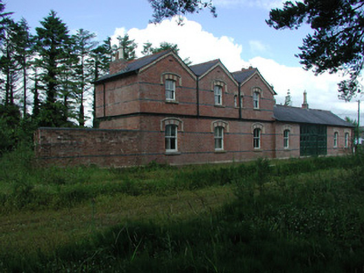 Mohill Railway Stationrailway station · 1656 yd
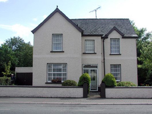 Auburnhouse · 1723 yd
 Turlough O'Carolan MonumentHeritage attraction · 1.1 mi
 Ch. on site of AbbeyChurch · 1.1 mi
 IndicatedFairy fort / earthen ringfort · 1.2 mi
 Little IslandIslet · 1.3 mi
 Duck IslandIslet · 1.4 mi
 Lawson's CypressLawson's Cypress · 1.6 mi
 TuliptreeTuliptree · 1.6 mi
 CastleCastle, tower house · 1.9 mi
 OratoryCastle, tower house · 3.2 mi