What is recorded here
Crannog in Clooncoe is a lost island on the south shore of Errew Lough, marked only on a 1750 estate map and no longer visible in the water. The lake stretches nearly a kilometre along the Cloone River, wide enough to swallow a small island whole when the shoreline shifts. Whatever lived there may have sunk, rotated into the bank, or simply stopped being worth drawing.
Located close to the S shore of Errew Lough, an oval lake (dims c. 900m NNW-SSE; c. 500m WNW-ESE), which is on the N-S Cloone River, also known in this area as the Lurga River. An island is marked only on an estate map (Wogan 1750, 22). No crannog is evident in the lake but it might be incorporated in the shore.
Compiled by: Michael Moore
Date of upload: 7 January 2020
The monument record does not grant public access. Check the route and ask the landowner before entering private land.
- What survives
- Recorded monument
Places near here
 Druid's AltarArchaeological place · 228 yd
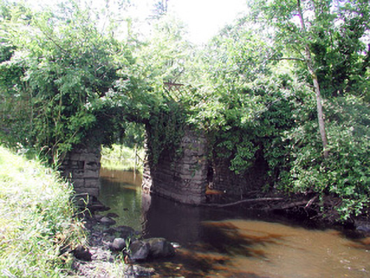 Lough Rynn Housebridge · 451 yd
 Holm OakHolm Oak · 497 yd
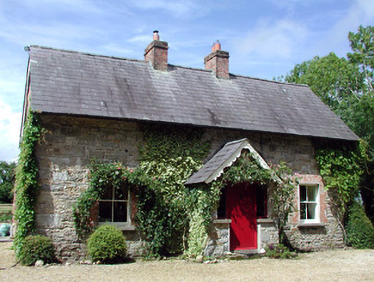 Errew Cottageworker's house · 673 yd
 Lawson's CypressLawson's Cypress · 676 yd
 Duck IslandIslet · 733 yd
 CastleCastle, tower house · 776 yd
 Little IslandIslet · 838 yd
 Holy WellHoly well · 1513 yd
 Giant's GraveArchaeological place · 1.2 mi
 OratoryCastle, tower house · 1.5 mi
 Turlough O'Carolan MonumentHeritage attraction · 2.3 mi